Vous devez activer Javascript pour pouvoir afficher correctement cette page !
Accueil / Recherche
|
Les photos en France
|
Les photos des autres pays
|
Envoyer vos photos
|
Le TOP 20
Conditions d'utilisation
|
Google Maps
|
Formulaire de contact
|
Nouvelles photos ajoutées
|
Newsletter
Publicité :
Nombre de photo(s) :
19
Lancer le
diaporama
Pays :
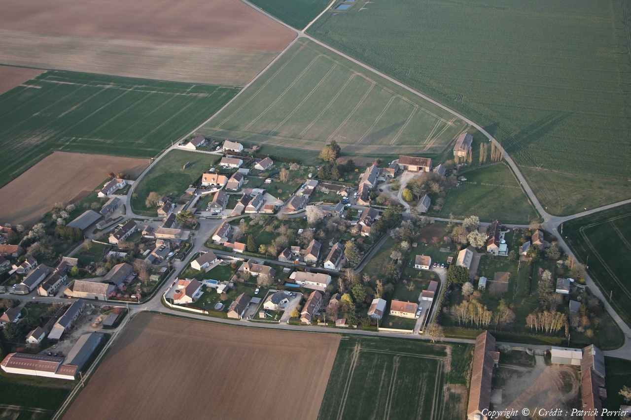
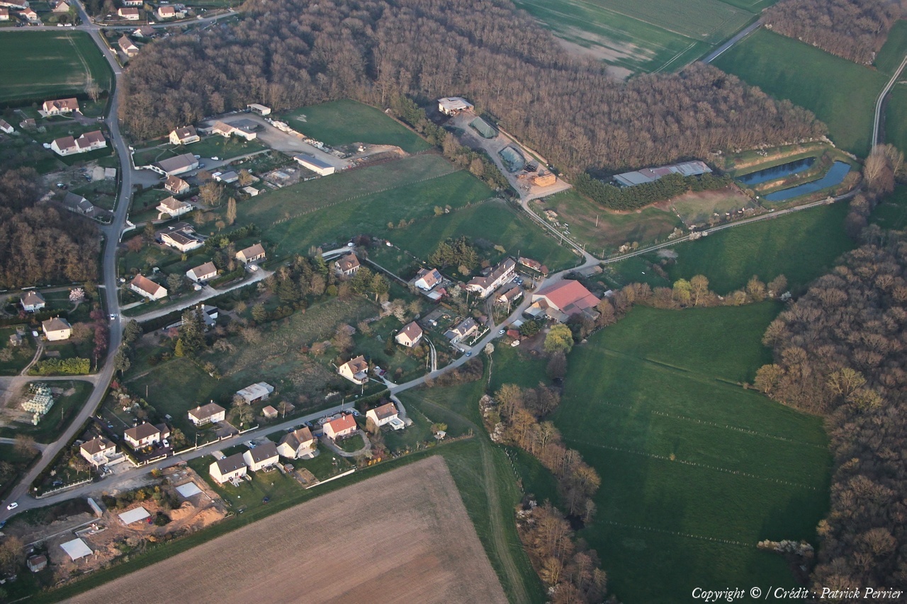
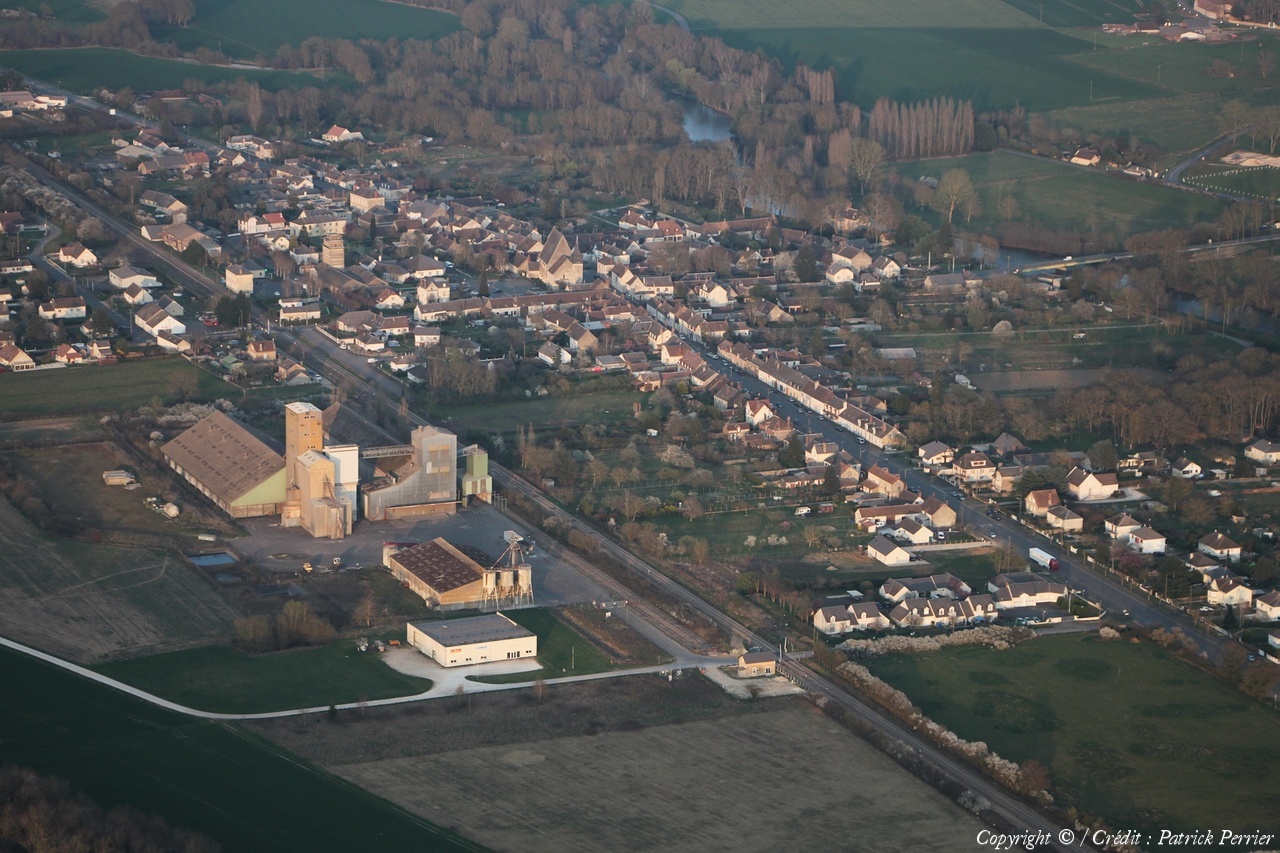
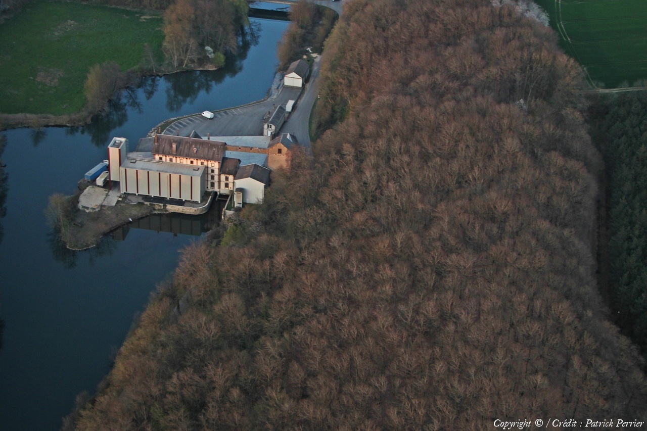
France
Département :
Loir-et-Cher (41)
Lieu :
Villefrancœur
Coord. GPS :
47 42 27 N 01 11 43 E
Photographe :
Patrick Perrier
Prise le :
26/03/2022
Vue 483 fois (
0.72 fois/jour
)
Affiner la recherche
-
Situer sur la carte
Pays :
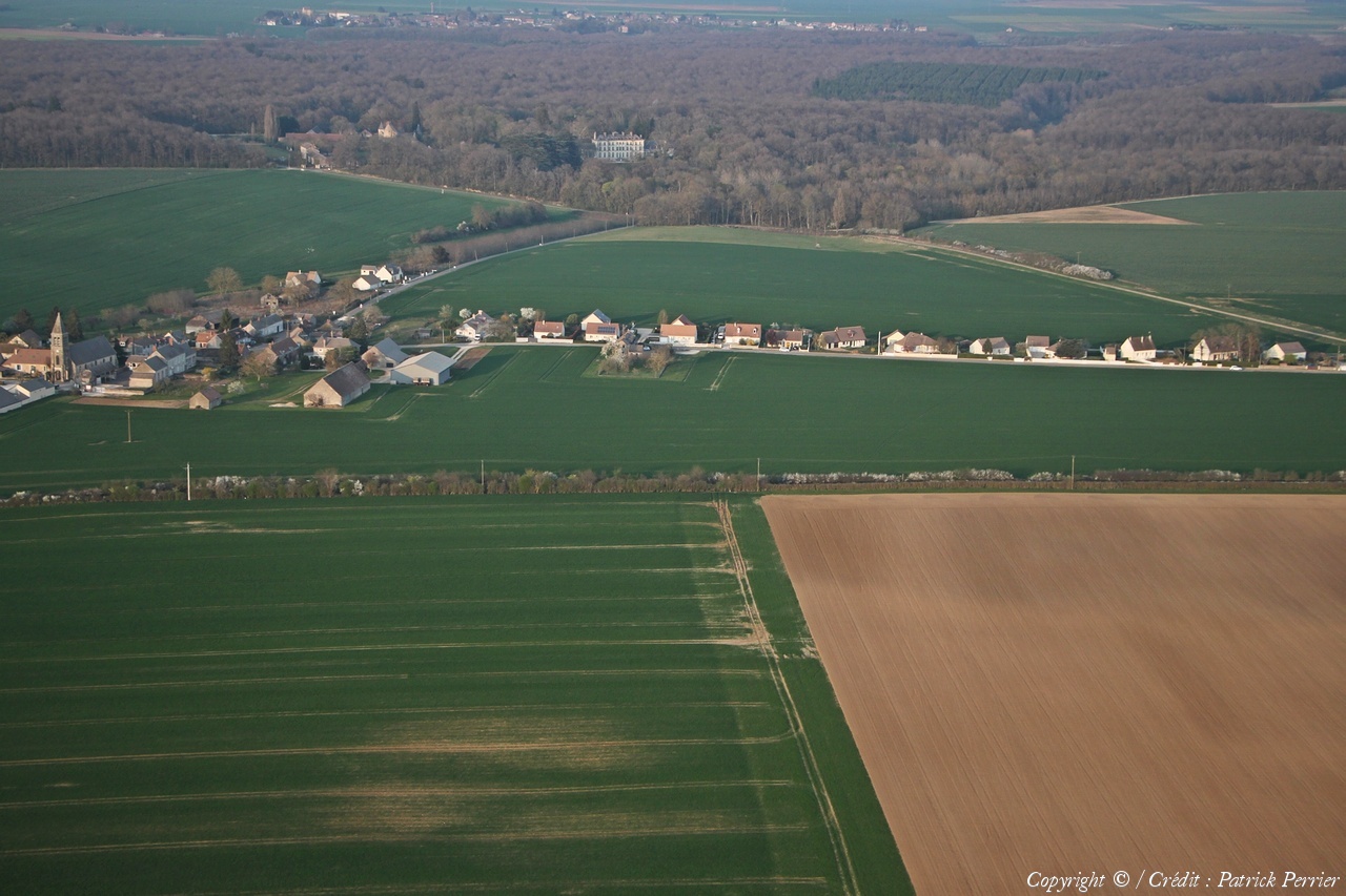
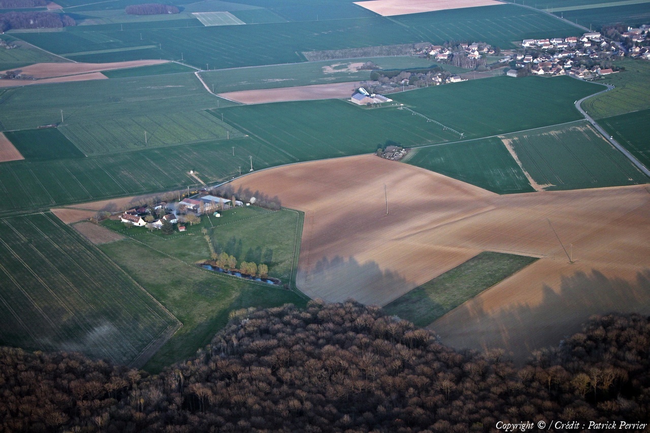
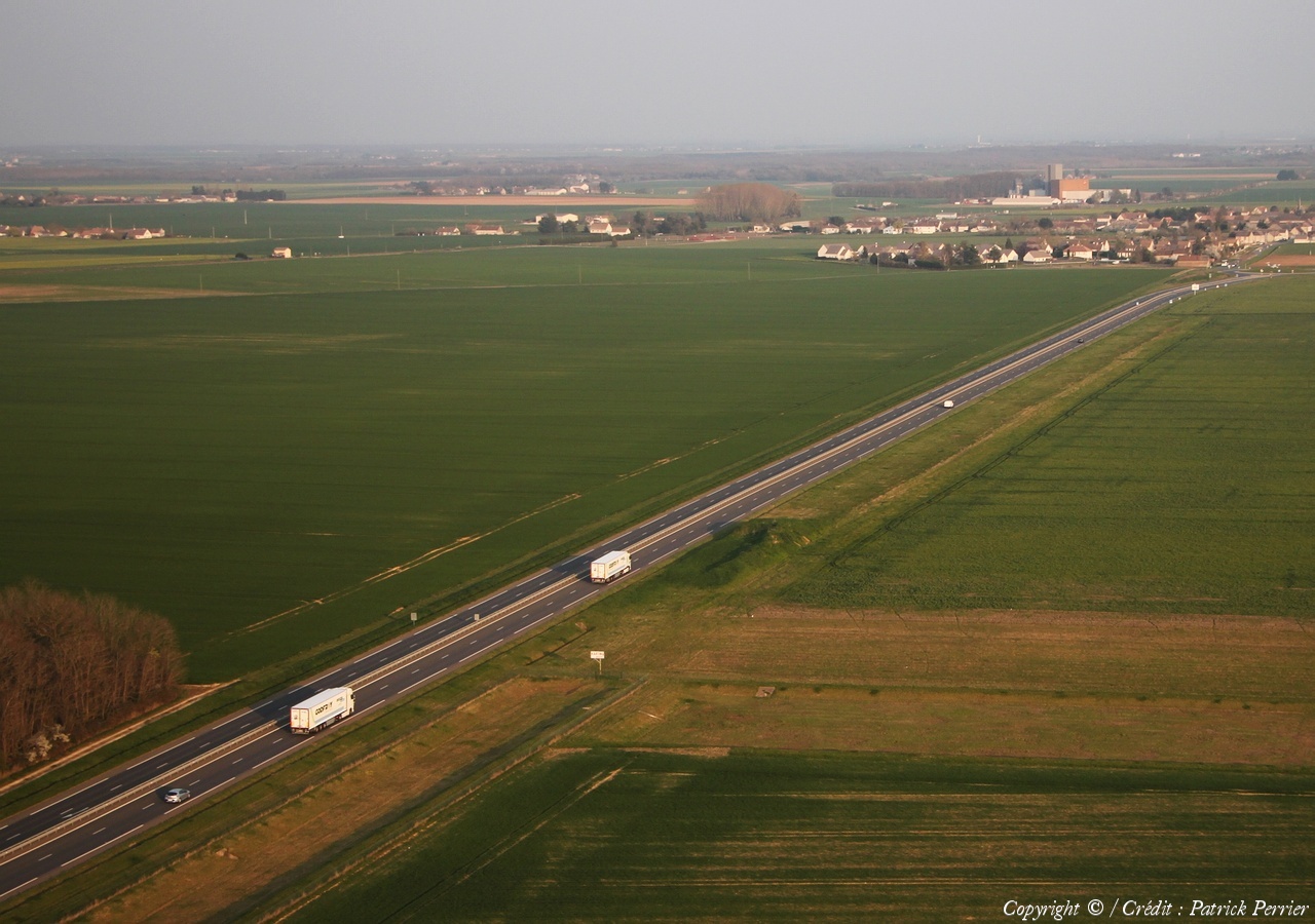
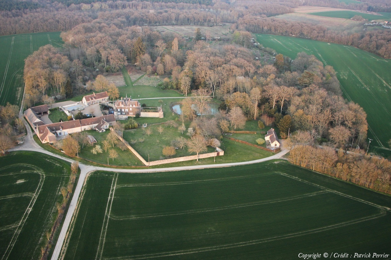
France
Département :
Loir-et-Cher (41)
Lieu :
Villefrancœur
Coord. GPS :
47 41 58 N 01 12 30 E
Photographe :
Patrick Perrier
Prise le :
26/03/2022
Vue 525 fois (
0.78 fois/jour
)
Affiner la recherche
-
Situer sur la carte
Pays :
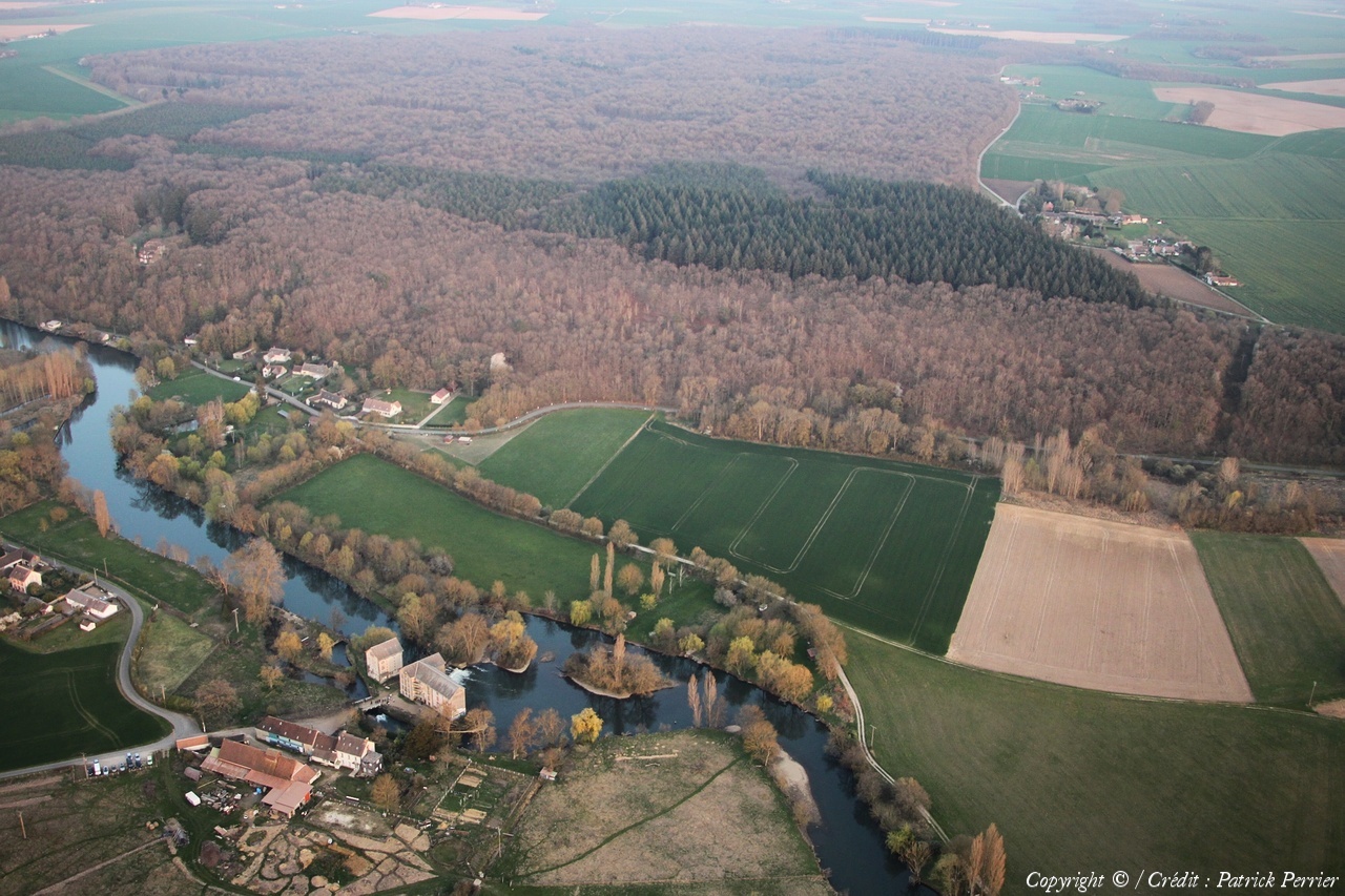
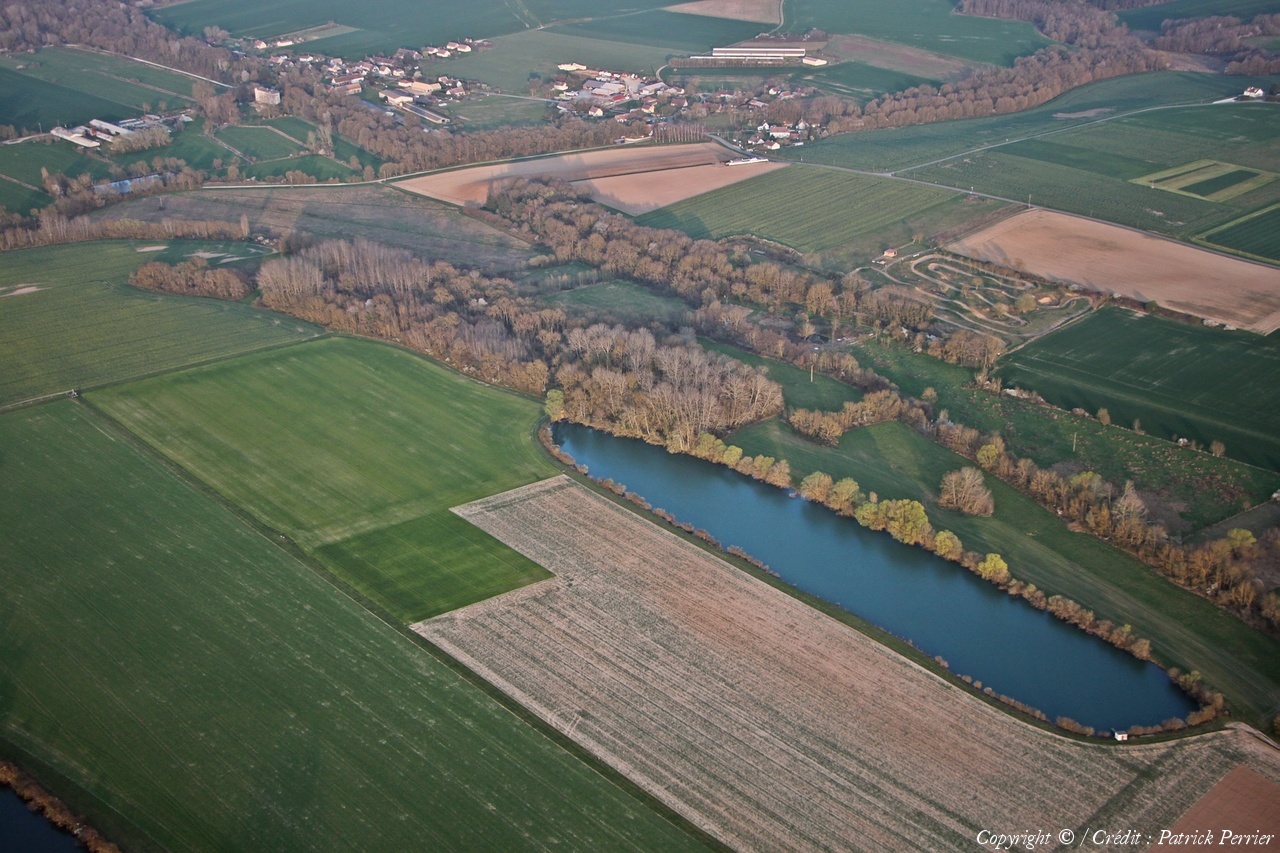
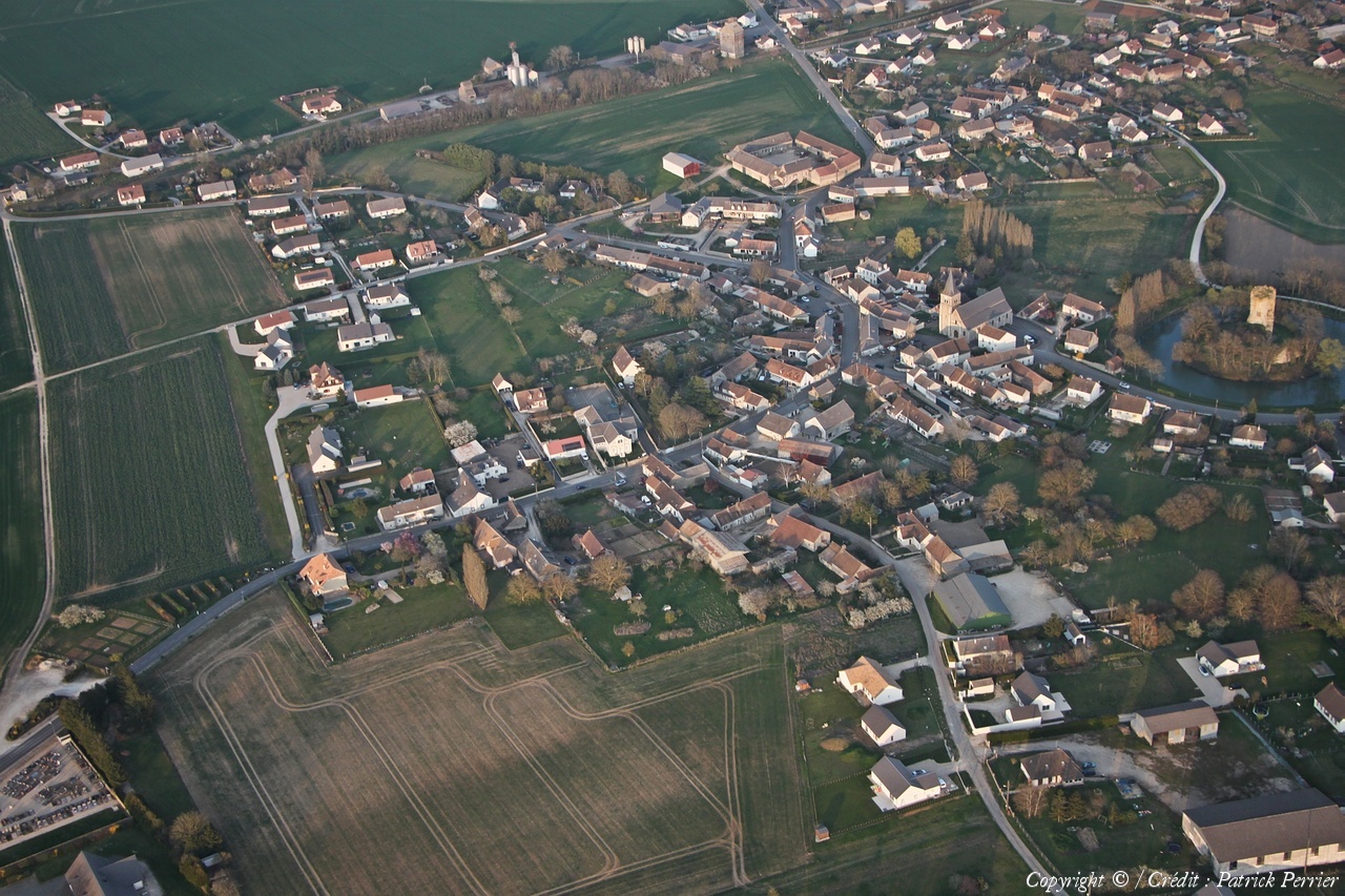
France
Département :
Loir-et-Cher (41)
Lieu :
Villefrancœur
Coord. GPS :
47 41 36 N 01 13 08 E
Photographe :
Patrick Perrier
Prise le :
26/03/2022
Vue 472 fois (
0.70 fois/jour
)
Affiner la recherche
-
Situer sur la carte
Pays :
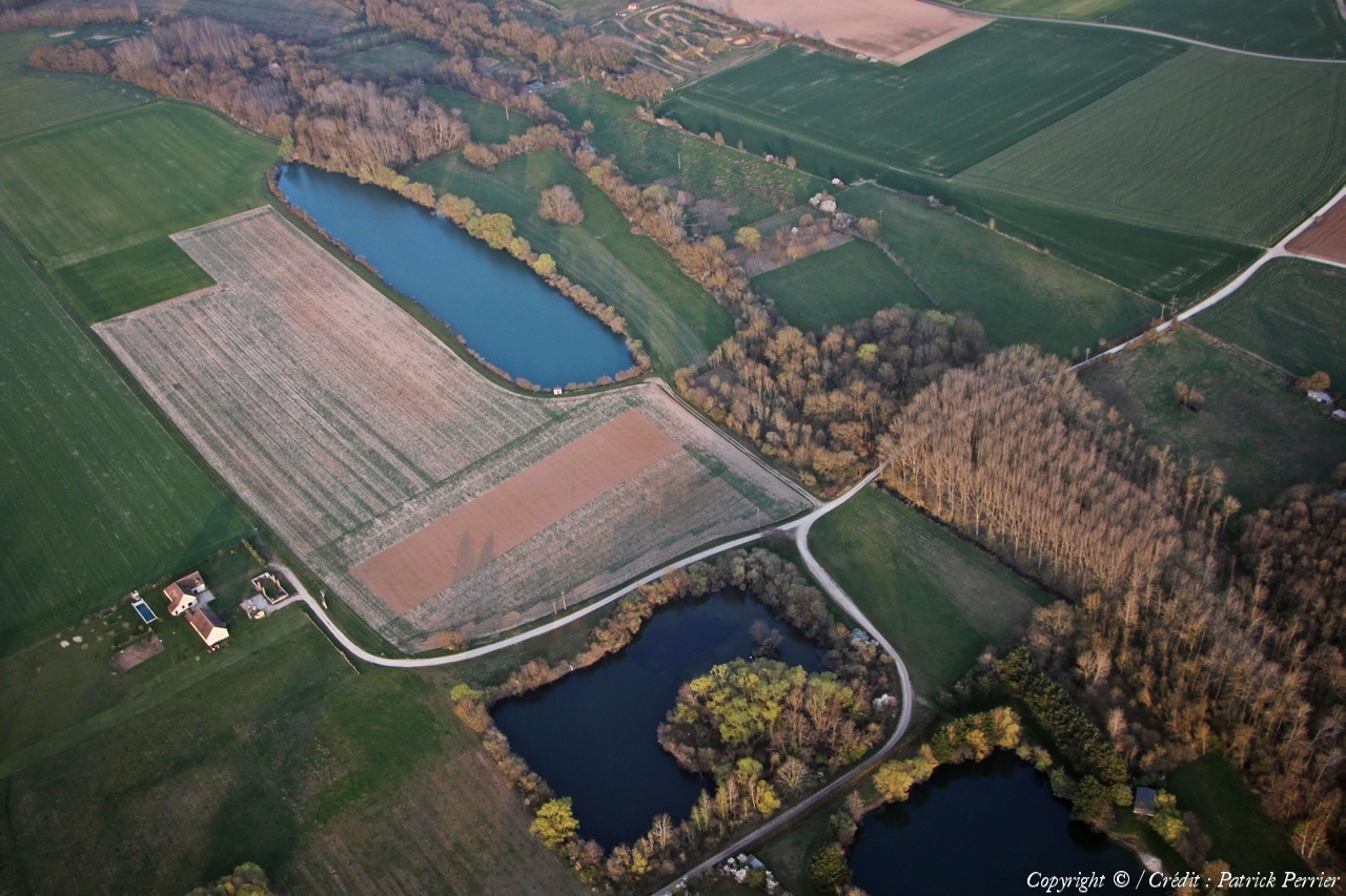
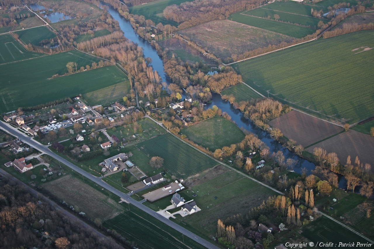
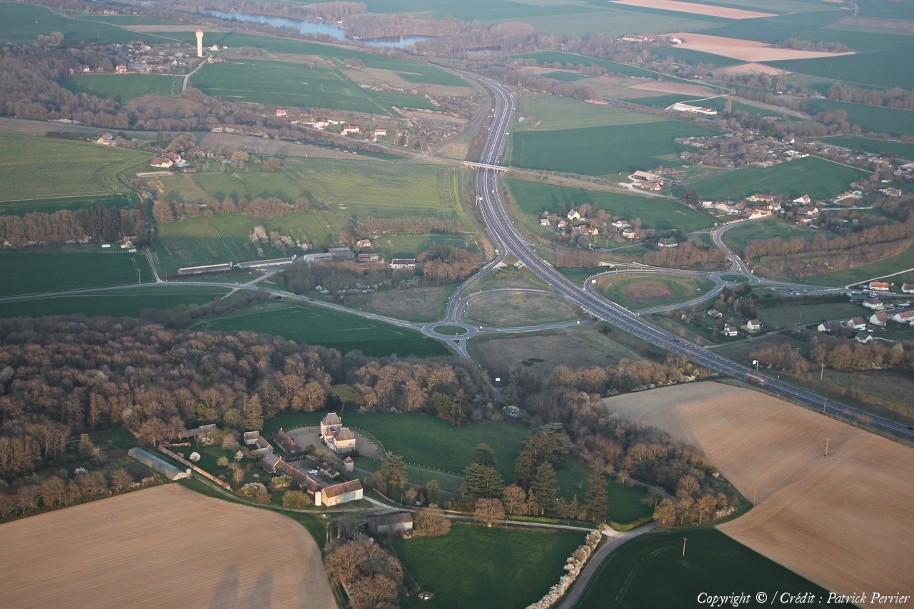
France
Département :
Loir-et-Cher (41)
Lieu :
Saint-Jean-Froidmentel
Coord. GPS :
47 57 06 N 01 13 37 E
Photographe :
Patrick Perrier
Prise le :
26/03/2022
Vue 490 fois (
0.73 fois/jour
)
Affiner la recherche
-
Situer sur la carte
Pays :
France
Département :
Loir-et-Cher (41)
Lieu :
Saint-Firmin-des-Prés
Coord. GPS :
47 50 56 N 01 07 28 E
Photographe :
Patrick Perrier
Prise le :
26/03/2022
Vue 451 fois (
0.67 fois/jour
)
Affiner la recherche
-
Situer sur la carte
Pays :
France
Département :
Loir-et-Cher (41)
Lieu :
Saint-Firmin-des-Prés
Coord. GPS :
47 50 32 N 01 06 45 E
Photographe :
Patrick Perrier
Prise le :
26/03/2022
Vue 448 fois (
0.67 fois/jour
)
Affiner la recherche
-
Situer sur la carte
Pays :
France
Département :
Loir-et-Cher (41)
Lieu :
Saint-Firmin-des-Prés
Coord. GPS :
47 50 06 N 01 07 27 E
Photographe :
Patrick Perrier
Prise le :
26/03/2022
Vue 458 fois (
0.68 fois/jour
)
Affiner la recherche
-
Situer sur la carte
Pays :
France
Département :
Loir-et-Cher (41)
Lieu :
Rocé
Coord. GPS :
47 48 21 N 01 08 48 E
Photographe :
Patrick Perrier
Prise le :
26/03/2022
Vue 475 fois (
0.71 fois/jour
)
Affiner la recherche
-
Situer sur la carte
Pays :
France
Département :
Loir-et-Cher (41)
Lieu :
Saint-Firmin-des-Prés
Coord. GPS :
47 50 56 N 01 07 28 E
Photographe :
Patrick Perrier
Prise le :
26/03/2022
Vue 407 fois (
0.61 fois/jour
)
Affiner la recherche
-
Situer sur la carte
Pays :
France
Département :
Loir-et-Cher (41)
Lieu :
Pezou
Coord. GPS :
47 40 15 N 01 14 17 E
Photographe :
Patrick Perrier
Prise le :
26/03/2022
Vue 455 fois (
0.68 fois/jour
)
Affiner la recherche
-
Situer sur la carte
Pays :
France
Département :
Loir-et-Cher (41)
Lieu :
Pezou
Coord. GPS :
47 50 33 N 01 07 55 E
Photographe :
Patrick Perrier
Prise le :
26/03/2022
Vue 451 fois (
0.67 fois/jour
)
Affiner la recherche
-
Situer sur la carte
Pays :
France
Département :
Loir-et-Cher (41)
Lieu :
Pezou
Coord. GPS :
47 40 15 N 01 14 17 E
Photographe :
Patrick Perrier
Prise le :
26/03/2022
Vue 466 fois (
0.69 fois/jour
)
Affiner la recherche
-
Situer sur la carte
Pays :
France
Département :
Loir-et-Cher (41)
Lieu :
La Chapelle-Vendômoise
Coord. GPS :
47 40 15 N 01 14 17 E
Photographe :
Patrick Perrier
Prise le :
26/03/2022
Vue 454 fois (
0.68 fois/jour
)
Affiner la recherche
-
Situer sur la carte
Pays :
France
Département :
Loir-et-Cher (41)
Lieu :
Coulommiers-la-Tour
Coord. GPS :
47 46 57 N 01 08 31 E
Photographe :
Patrick Perrier
Prise le :
26/03/2022
Vue 537 fois (
0.80 fois/jour
)
Affiner la recherche
-
Situer sur la carte
Pays :
France
Département :
Loir-et-Cher (41)
Lieu :
Coulommiers-la-Tour
Coord. GPS :
47 46 57 N 01 08 31 E
Photographe :
Patrick Perrier
Prise le :
26/03/2022
Vue 517 fois (
0.77 fois/jour
)
Affiner la recherche
-
Situer sur la carte
Pays :
France
Département :
Loir-et-Cher (41)
Lieu :
Busloup
Coord. GPS :
47 53 33 N 01 07 56 E
Photographe :
Patrick Perrier
Prise le :
26/03/2022
Vue 459 fois (
0.68 fois/jour
)
Affiner la recherche
-
Situer sur la carte
Pays :
France
Département :
Loir-et-Cher (41)
Lieu :
Brévainville
Coord. GPS :
47 57 13 N 01 14 31 E
Photographe :
Patrick Perrier
Prise le :
26/03/2022
Vue 449 fois (
0.67 fois/jour
)
Affiner la recherche
-
Situer sur la carte
Pays :
France
Département :
Eure-et-Loir (28)
Lieu :
Cloyes-les-Trois-Rivières
Coord. GPS :
48 00 29 N 01 11 25 E
Photographe :
Patrick Perrier
Prise le :
26/03/2022
Vue 548 fois (
0.82 fois/jour
)
Affiner la recherche
-
Situer sur la carte
Pays :
France
Département :
Loir-et-Cher (41)
Lieu :
Brévainville
Coord. GPS :
47 57 13 N 01 14 31 E
Photographe :
Patrick Perrier
Prise le :
26/03/2022
Vue 413 fois (
0.62 fois/jour
)
Affiner la recherche
-
Situer sur la carte
Droits réservés - Copyright ©
Survol de France
Site en ligne depuis le 28 octobre 2004
787 visiteurs en ligne
-
2594 visiteurs aujourd'hui
Information sur la confidentialité
-
Mentions légales
Mesure d'audience ROI frequentation par


