Vous devez activer Javascript pour pouvoir afficher correctement cette page !
Accueil / Recherche
|
Les photos en France
|
Les photos des autres pays
|
Envoyer vos photos
|
Le TOP 20
Conditions d'utilisation
|
Google Maps
|
Formulaire de contact
|
Nouvelles photos ajoutées
|
Newsletter
Publicité :
Nombre de photo(s) :
27
Lancer le
diaporama
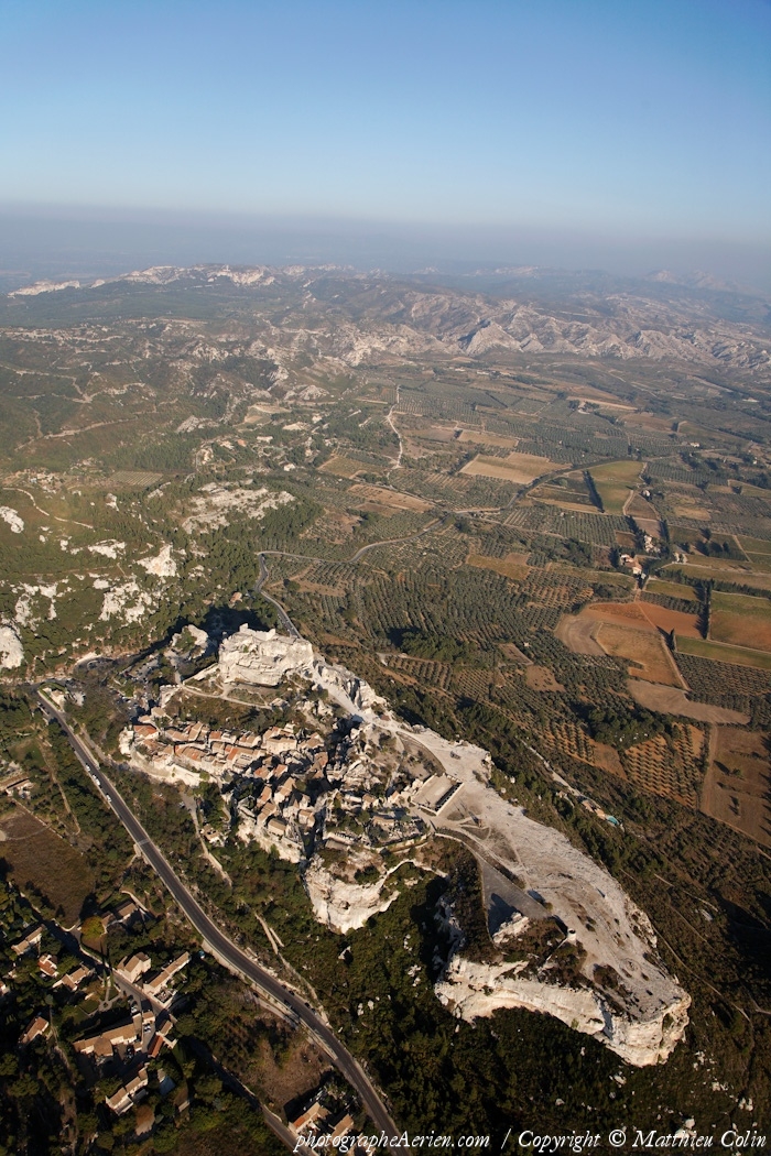
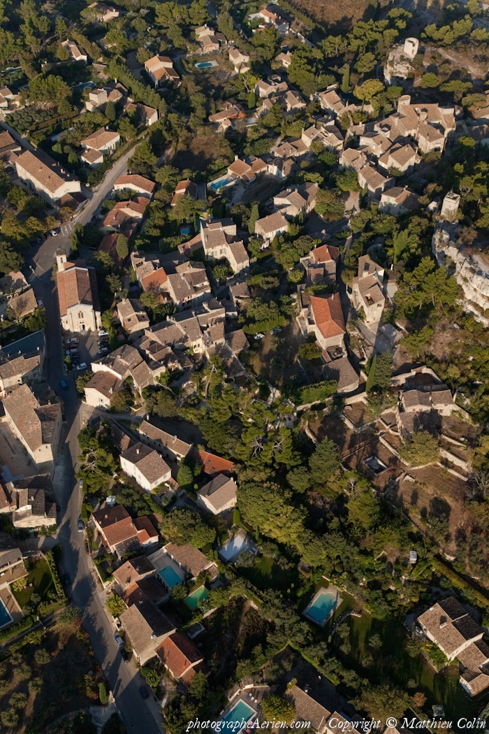
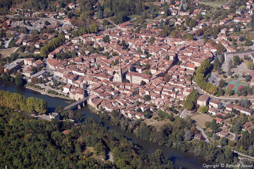
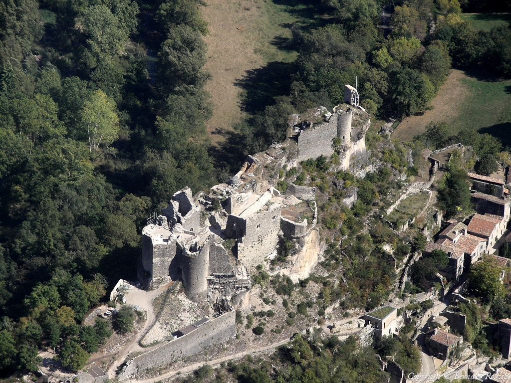
Pays :
France
Département :
Bouches-du-Rhône (13)
Lieu :
Les Baux-de-Provence
Coord. GPS :
43 44 39 N 04 47 48 E
Photographe :
Matthieu Colin
Prise le :
01/10/2011
Vue 2072 fois (
0.46 fois/jour
)
Affiner la recherche
-
Situer sur la carte
Pays :
France
Département :
Bouches-du-Rhône (13)
Lieu :
Les Baux-de-Provence
Coord. GPS :
43 44 39 N 04 47 48 E
Photographe :
Matthieu Colin
Prise le :
01/10/2011
Vue 2129 fois (
0.48 fois/jour
)
Affiner la recherche
-
Situer sur la carte
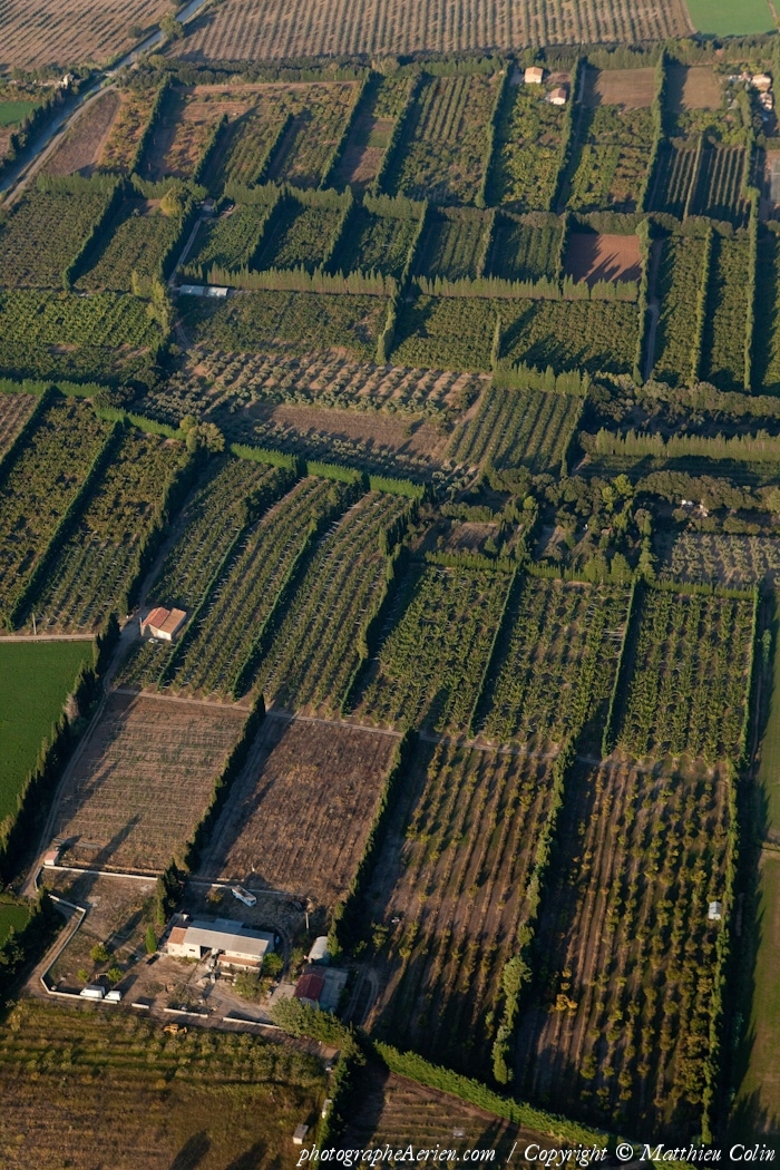
Pays :
France
Département :
Bouches-du-Rhône (13)
Lieu :
Eyguières
Coord. GPS :
Non disponible
Photographe :
Matthieu Colin
Prise le :
01/10/2011
Vue 1751 fois (
0.39 fois/jour
)
Affiner la recherche
Pays :
France
Département :
Bouches-du-Rhône (13)
Lieu :
Mouriès
Coord. GPS :
43 42 23 N 04 52 26 E
Photographe :
Matthieu Colin
Prise le :
01/10/2011
Vue 1947 fois (
0.44 fois/jour
)
Affiner la recherche
-
Situer sur la carte
Pays :
France
Département :
Bouches-du-Rhône (13)
Lieu :
Eyguières
Coord. GPS :
Non disponible
Photographe :
Matthieu Colin
Prise le :
01/10/2011
Vue 1755 fois (
0.39 fois/jour
)
Affiner la recherche
Pays :
France
Département :
Bouches-du-Rhône (13)
Lieu :
Eygalières
Coord. GPS :
43 45 36 N 04 57 00 E
Photographe :
Matthieu Colin
Prise le :
01/10/2011
Vue 2217 fois (
0.50 fois/jour
)
Affiner la recherche
-
Situer sur la carte
Pays :
France
Département :
Bouches-du-Rhône (13)
Lieu :
Eygalières
Coord. GPS :
43 45 36 N 04 57 00 E
Photographe :
Matthieu Colin
Prise le :
01/10/2011
Vue 2288 fois (
0.51 fois/jour
)
Affiner la recherche
-
Situer sur la carte
Pays :
France
Département :
Bouches-du-Rhône (13)
Lieu :
Eyguières
Coord. GPS :
43 45 17 N 04 54 53 E
Photographe :
Matthieu Colin
Prise le :
01/10/2011
Vue 2254 fois (
0.50 fois/jour
)
Affiner la recherche
-
Situer sur la carte
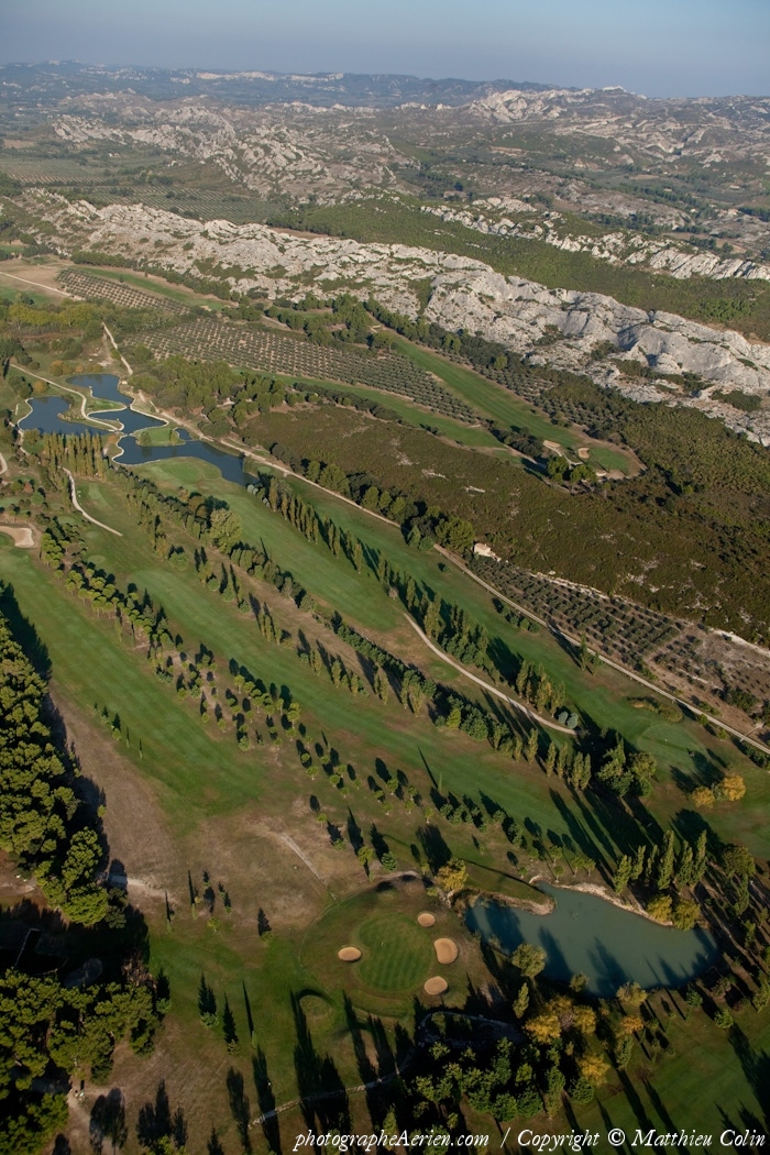
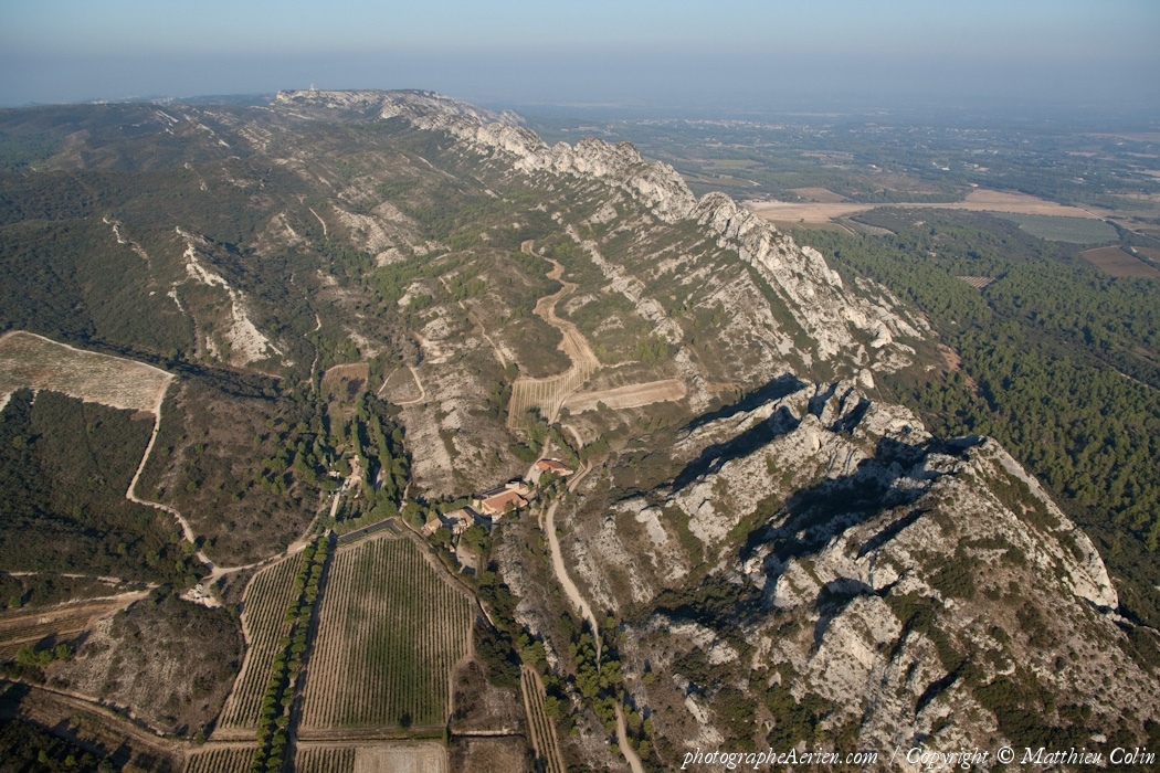
Pays :
France
Département :
Bouches-du-Rhône (13)
Lieu :
Massif des Alpilles
Coord. GPS :
Non disponible
Photographe :
Matthieu Colin
Prise le :
01/10/2011
Vue 2833 fois (
0.63 fois/jour
)
Affiner la recherche
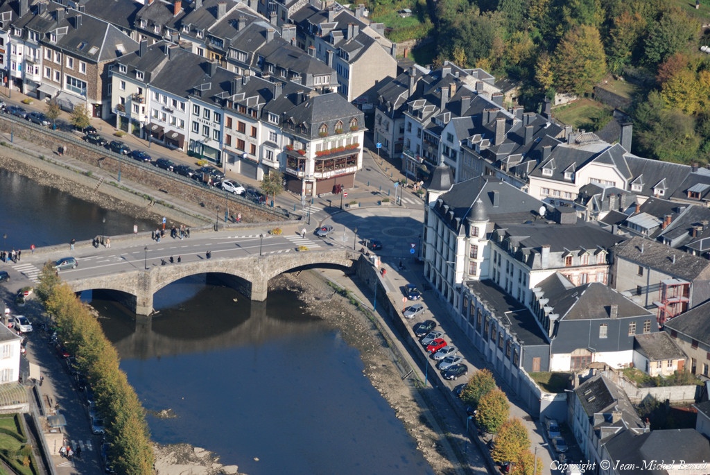
Pays :
Belgique (Belgium)
Lieu :
Bouillon
Coord. GPS :
49 47 45 N 05 04 20 E
Photographe :
Jean-Michel Benoit
Prise le :
01/10/2011
Vue 3033 fois (
0.67 fois/jour
)
Affiner la recherche
-
Situer sur la carte
Pays :
Belgique (Belgium)
Lieu :
Bouillon
Coord. GPS :
49 47 45 N 05 04 20 E
Photographe :
Jean-Michel Benoit
Prise le :
01/10/2011
Vue 3086 fois (
0.69 fois/jour
)
Affiner la recherche
-
Situer sur la carte
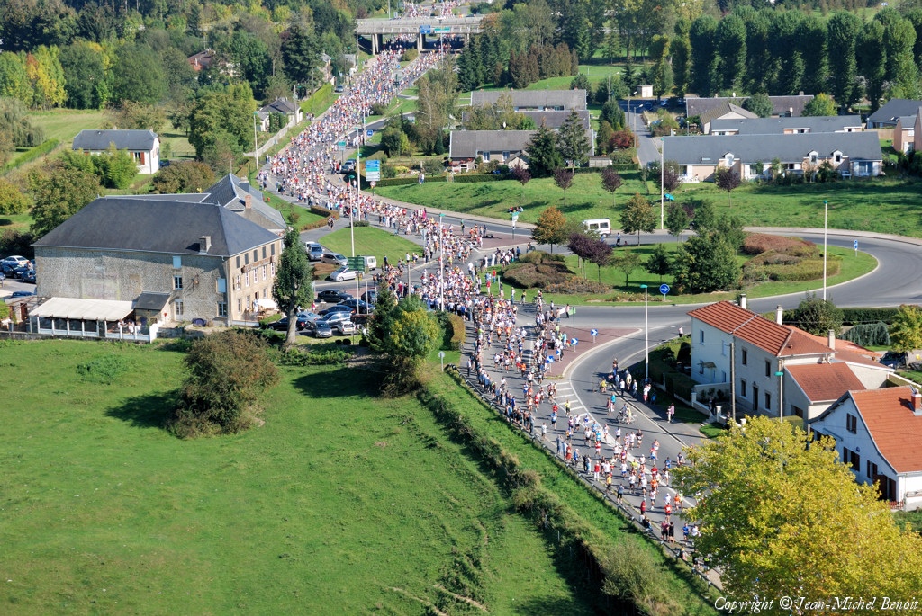
Pays :
France
Département :
Ardennes (08)
Lieu :
Illy
Coord. GPS :
49 44 33 N 04 58 37 E
Photographe :
Jean-Michel Benoit
Prise le :
01/10/2011
Vue 2392 fois (
0.53 fois/jour
)
Affiner la recherche
-
Situer sur la carte
Pays :
France
Département :
Ardennes (08)
Lieu :
Sedan
Coord. GPS :
49 41 36 N 04 54 02 E
Photographe :
Jean-Michel Benoit
Prise le :
01/10/2011
Vue 2522 fois (
0.56 fois/jour
)
Affiner la recherche
-
Situer sur la carte
Pays :
France
Département :
Loir-et-Cher (41)
Lieu :
Blois
Coord. GPS :
47 40 46 N 01 12 20 E
Photographe :
Benoit Marembert
Prise le :
01/10/2011
Vue 1873 fois (
0.41 fois/jour
)
Affiner la recherche
-
Situer sur la carte
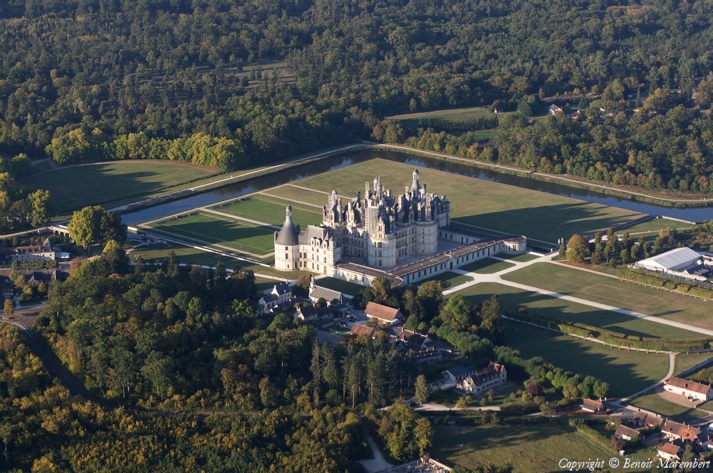
Pays :
France
Département :
Loir-et-Cher (41)
Lieu :
Château de Chambord
Coord. GPS :
47 36 56 N 01 31 00 E
Photographe :
Benoit Marembert
Prise le :
01/10/2011
Vue 2240 fois (
0.49 fois/jour
)
Affiner la recherche
-
Situer sur la carte
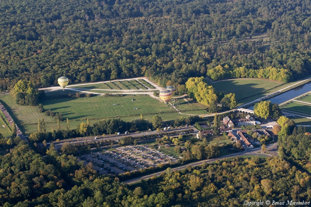
Pays :
France
Département :
Loir-et-Cher (41)
Lieu :
Château de Chambord
Coord. GPS :
47 36 56 N 01 31 00 E
Photographe :
Benoit Marembert
Prise le :
01/10/2011
Vue 2358 fois (
0.52 fois/jour
)
Affiner la recherche
-
Situer sur la carte
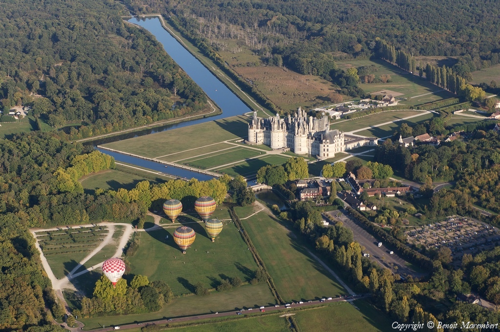
Pays :
France
Département :
Loir-et-Cher (41)
Lieu :
Château de Chambord
Coord. GPS :
47 36 56 N 01 31 00 E
Photographe :
Benoit Marembert
Prise le :
01/10/2011
Vue 1905 fois (
0.42 fois/jour
)
Affiner la recherche
-
Situer sur la carte
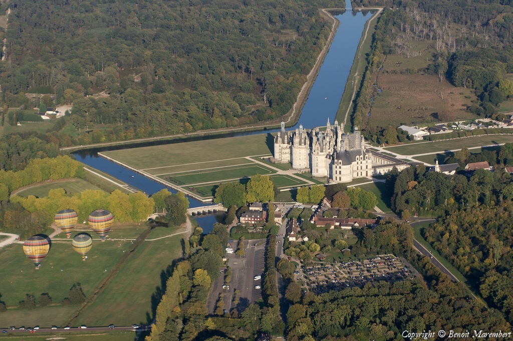
Pays :
France
Département :
Loir-et-Cher (41)
Lieu :
Château de Chambord
Coord. GPS :
47 36 56 N 01 31 00 E
Photographe :
Benoit Marembert
Prise le :
01/10/2011
Vue 1867 fois (
0.41 fois/jour
)
Affiner la recherche
-
Situer sur la carte
Pays :
France
Département :
Loir-et-Cher (41)
Lieu :
Château de Chambord
Coord. GPS :
47 36 56 N 01 31 00 E
Photographe :
Benoit Marembert
Prise le :
01/10/2011
Vue 2300 fois (
0.51 fois/jour
)
Affiner la recherche
-
Situer sur la carte
Pays :
France
Département :
Loir-et-Cher (41)
Lieu :
Château de Chambord
Coord. GPS :
47 36 56 N 01 31 00 E
Photographe :
Benoit Marembert
Prise le :
01/10/2011
Vue 2085 fois (
0.46 fois/jour
)
Affiner la recherche
-
Situer sur la carte
1
2
Page suivante
Dernière page
Droits réservés - Copyright ©
Survol de France
Site en ligne depuis le 28 octobre 2004
508 visiteurs en ligne
-
1812 visiteurs aujourd'hui
Information sur la confidentialité
-
Mentions légales
Mesure d'audience ROI frequentation par


