Vous devez activer Javascript pour pouvoir afficher correctement cette page !
Accueil / Recherche
|
Les photos en France
|
Les photos des autres pays
|
Envoyer vos photos
|
Le TOP 20
Conditions d'utilisation
|
Google Maps
|
Formulaire de contact
|
Nouvelles photos ajoutées
|
Newsletter
Publicité :
Nombre de photo(s) :
32
Lancer le
diaporama
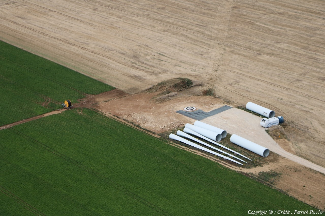
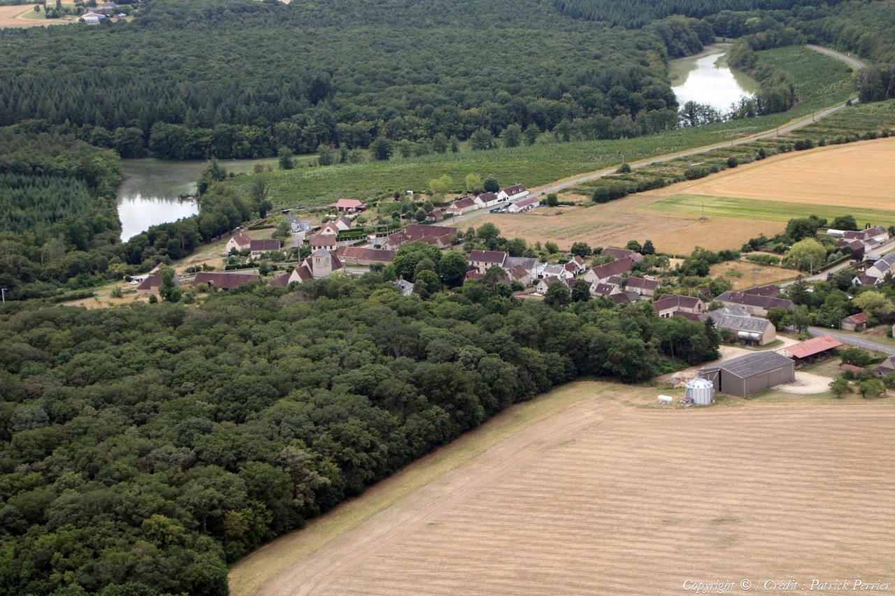
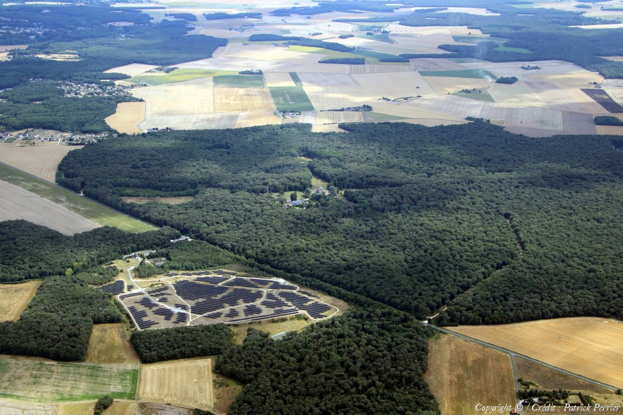
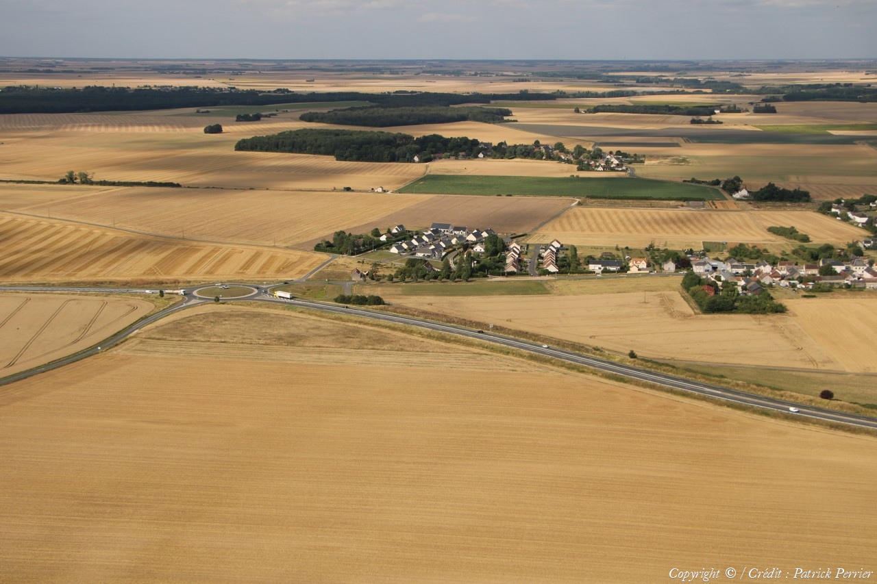
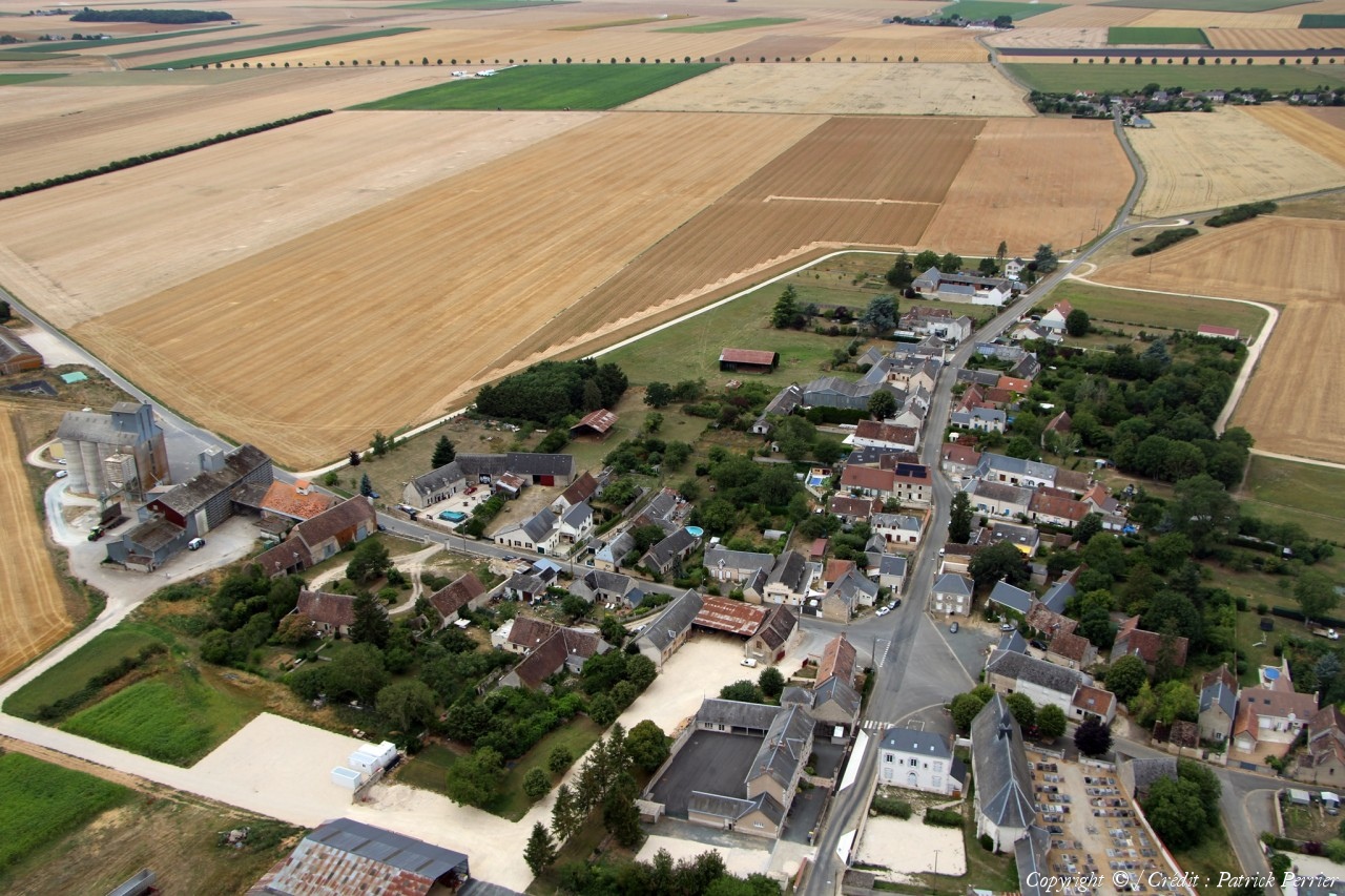
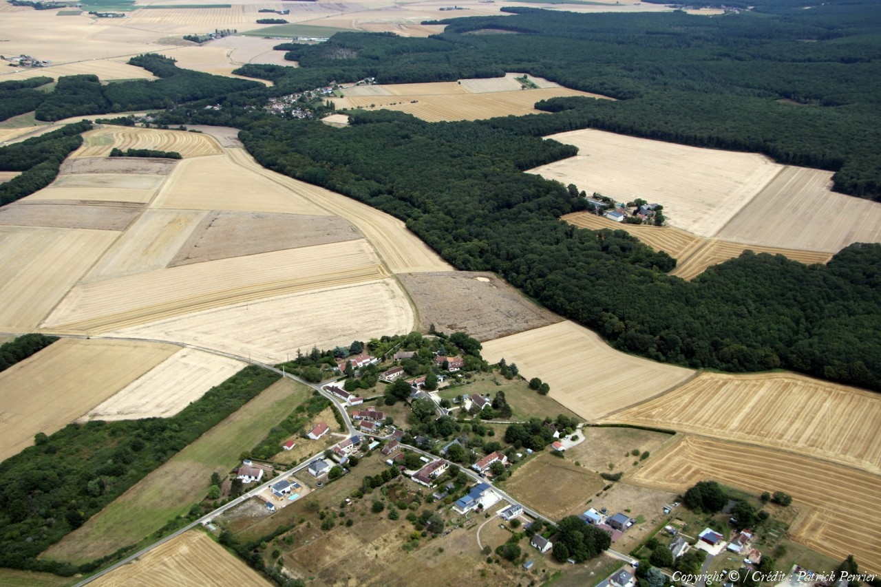
Pays :
France
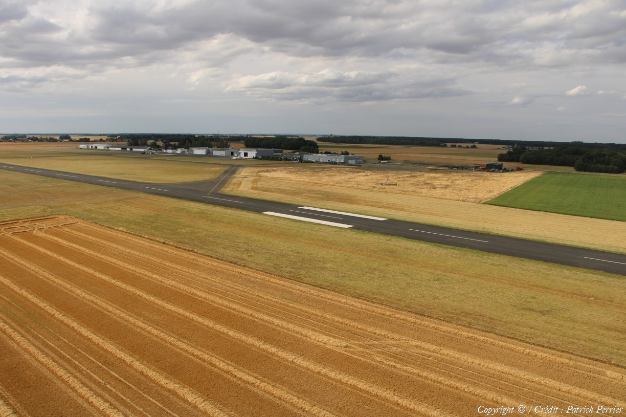
Département :
Loir-et-Cher (41)
Lieu :
Moisy
Coord. GPS :
47 55 56 N 01 19 36 E
Photographe :
Patrick Perrier
Prise le :
20/07/2023
Vue 340 fois (
1.72 fois/jour
)
Affiner la recherche
-
Situer sur la carte
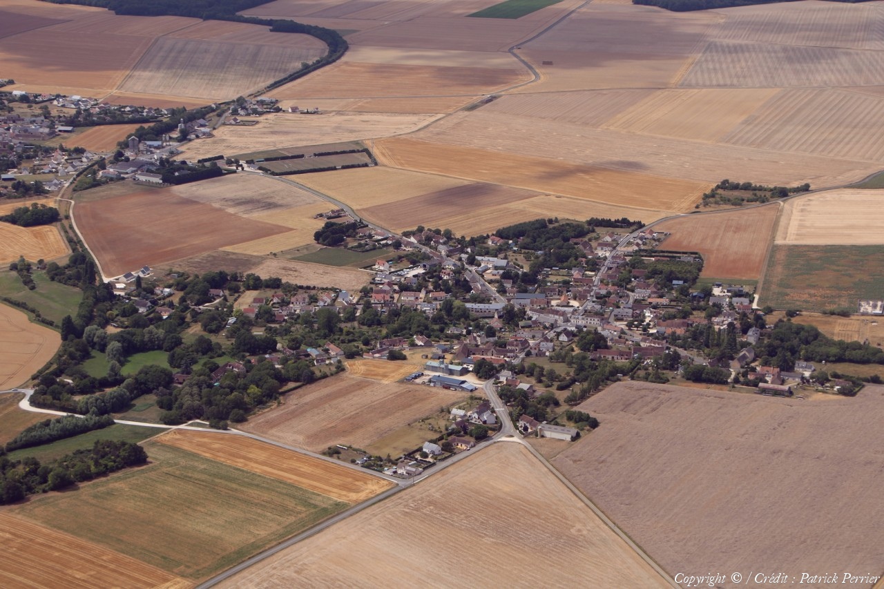
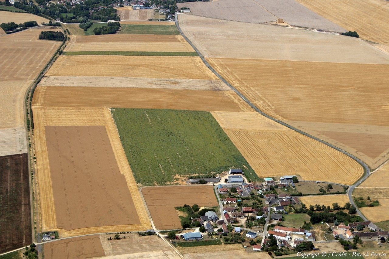
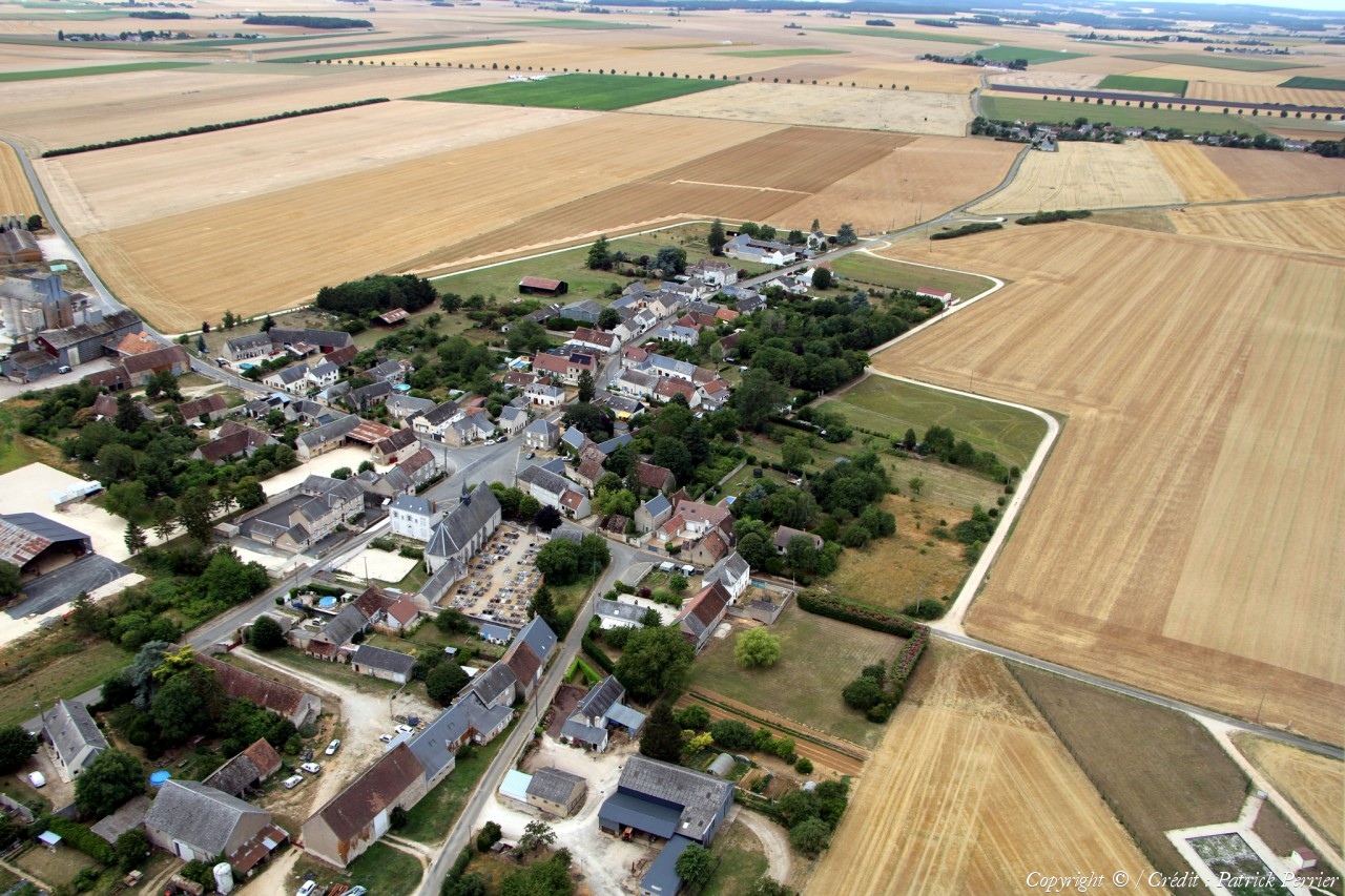
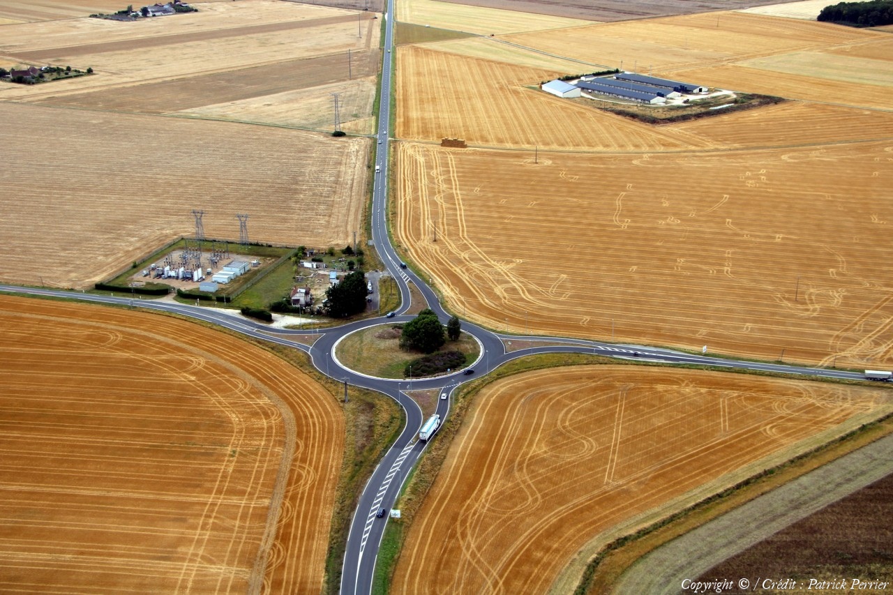
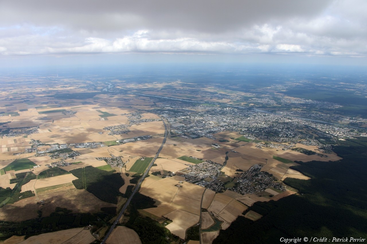
Pays :
France
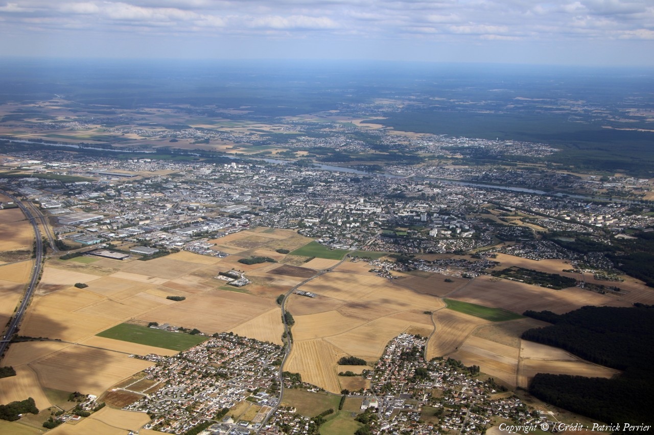
Département :
Loir-et-Cher (41)
Lieu :
Villetrun
Coord. GPS :
47 47 11 N 01 09 36 E
Photographe :
Patrick Perrier
Prise le :
20/07/2023
Vue 468 fois (
1.70 fois/jour
)
Affiner la recherche
-
Situer sur la carte
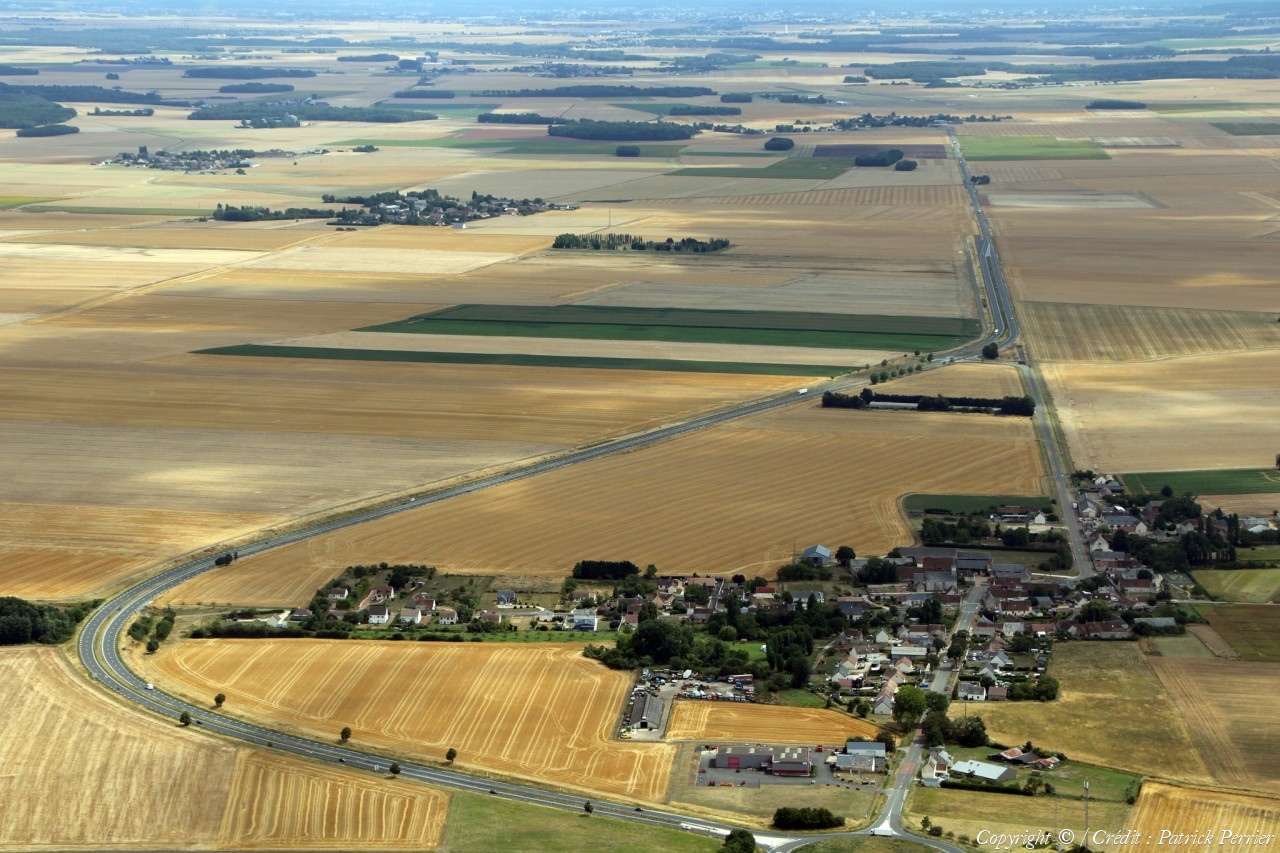
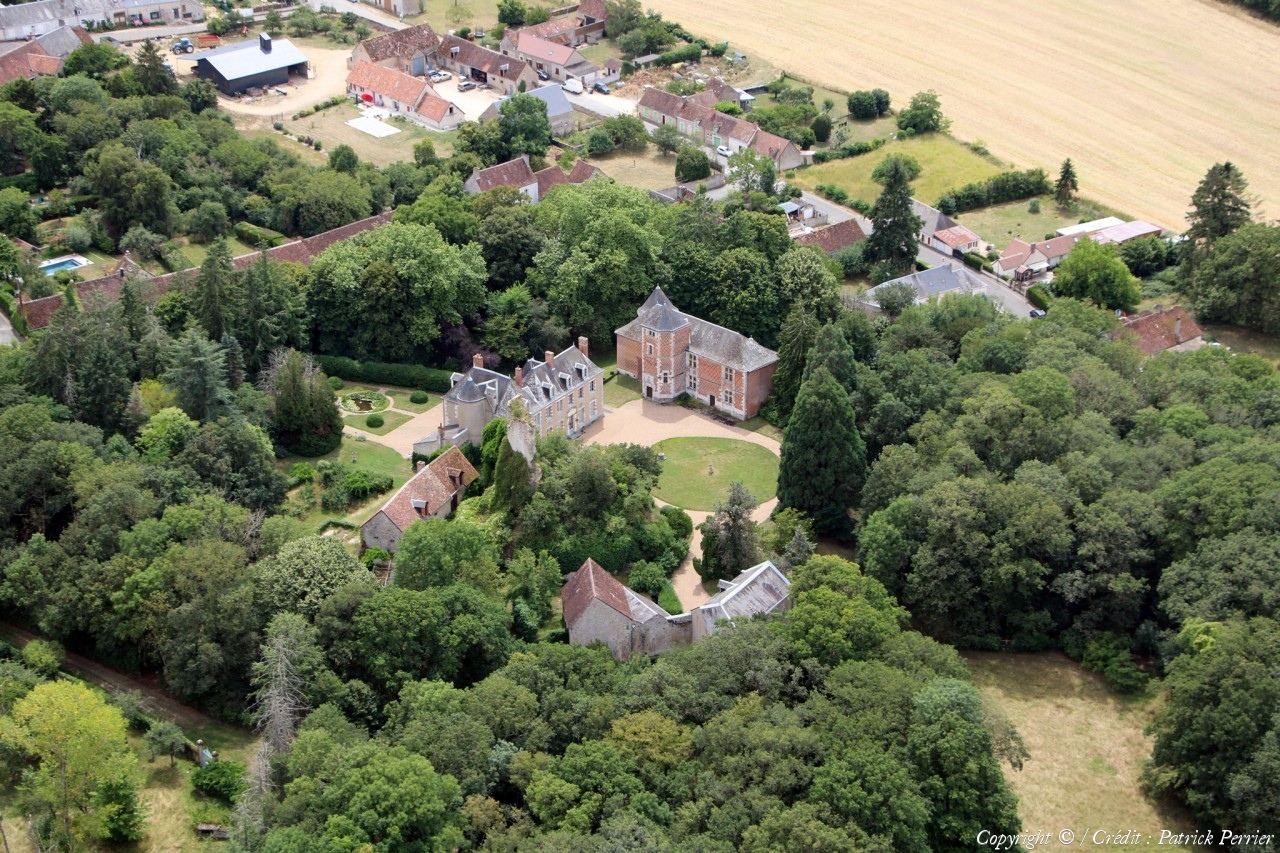
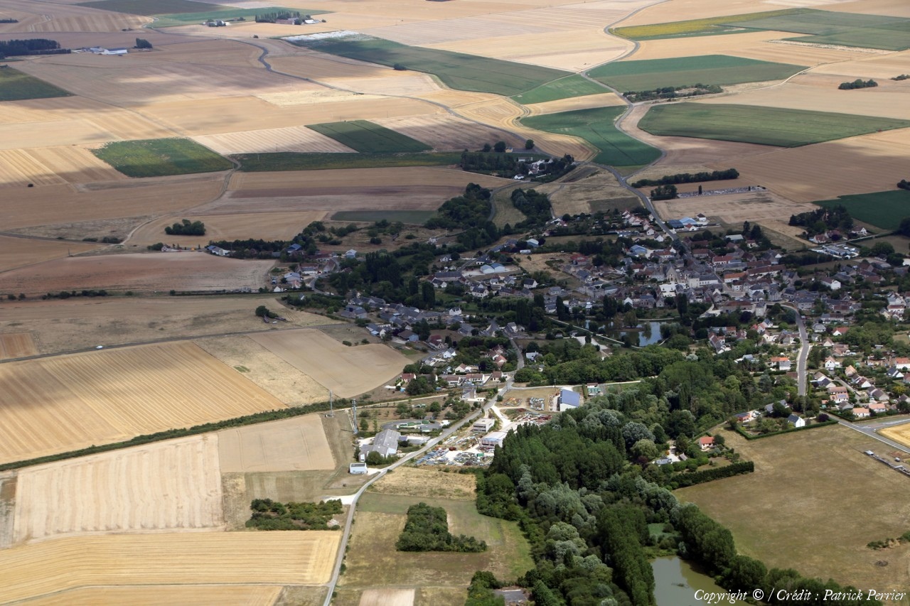
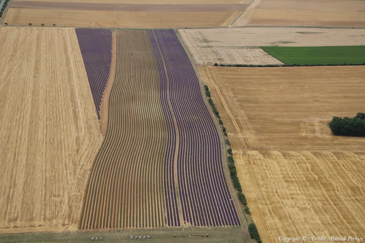
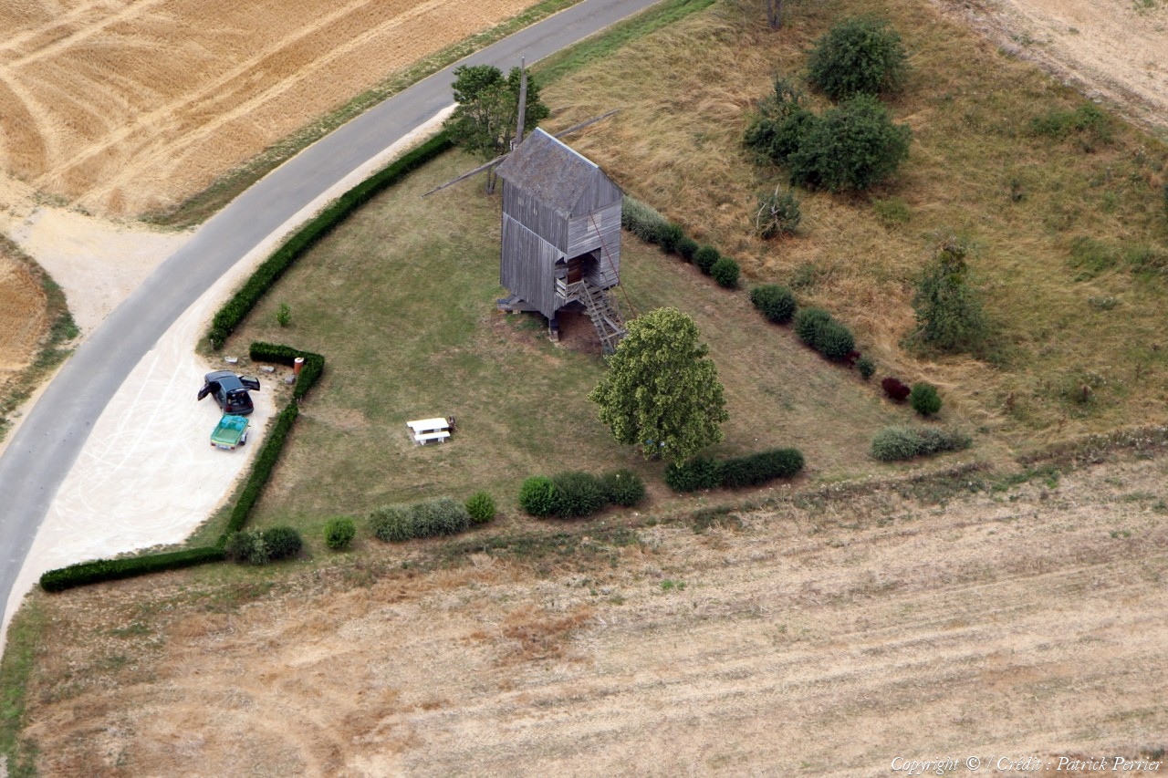
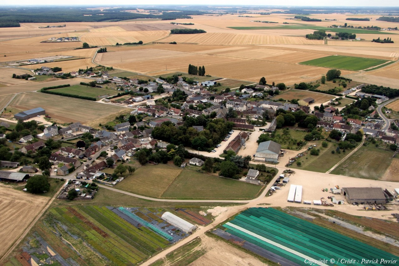
Pays :
France
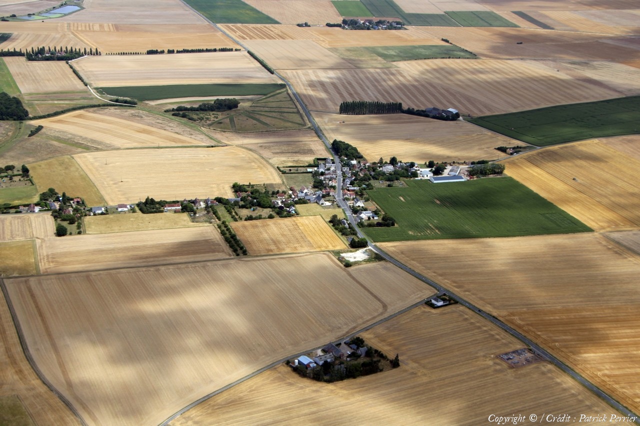
Département :
Loir-et-Cher (41)
Lieu :
Villeromain
Coord. GPS :
47 43 41 N 01 08 32 E
Photographe :
Patrick Perrier
Prise le :
20/07/2023
Vue 487 fois (
1.77 fois/jour
)
Affiner la recherche
-
Situer sur la carte
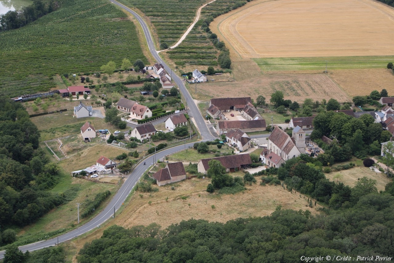
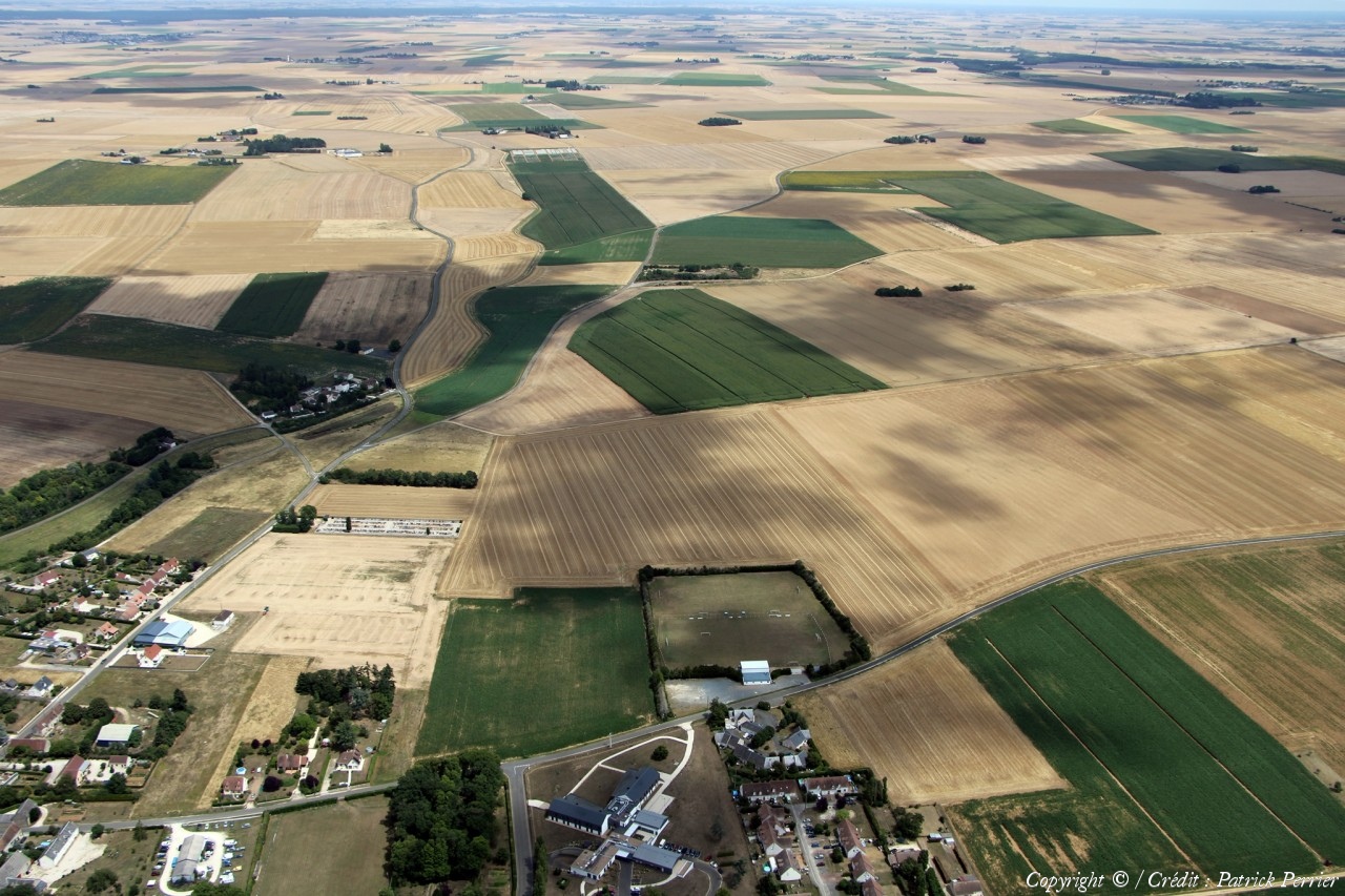
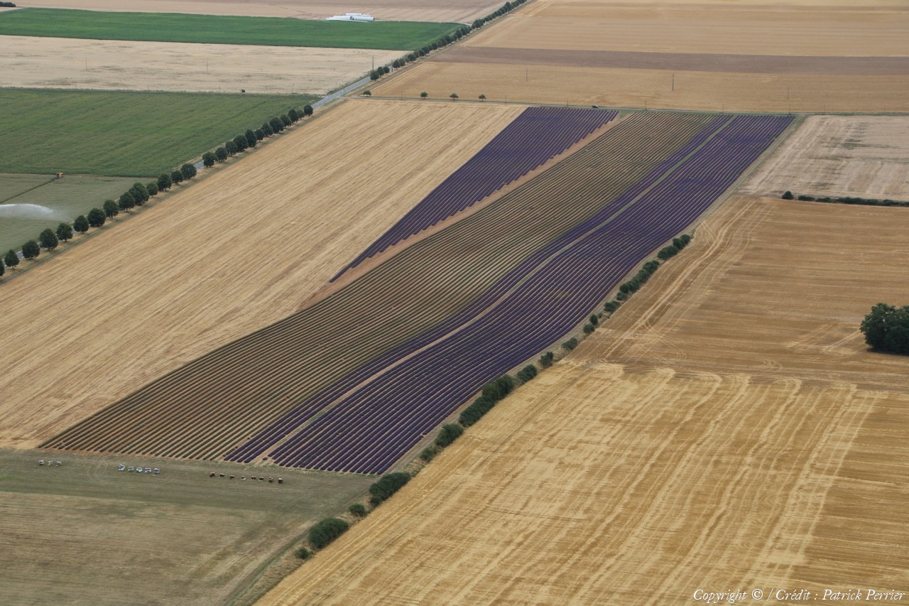
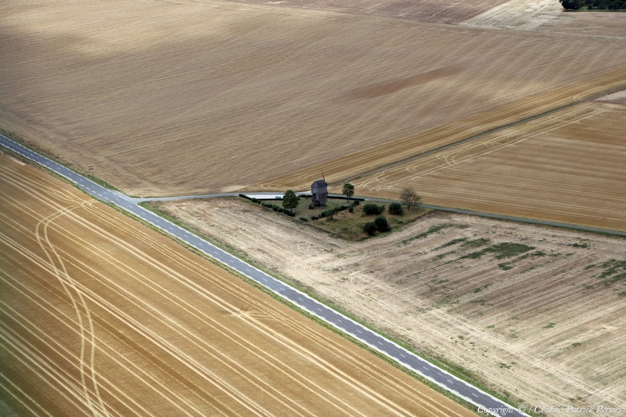
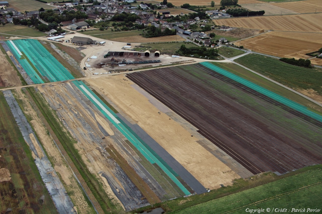
Pays :
France
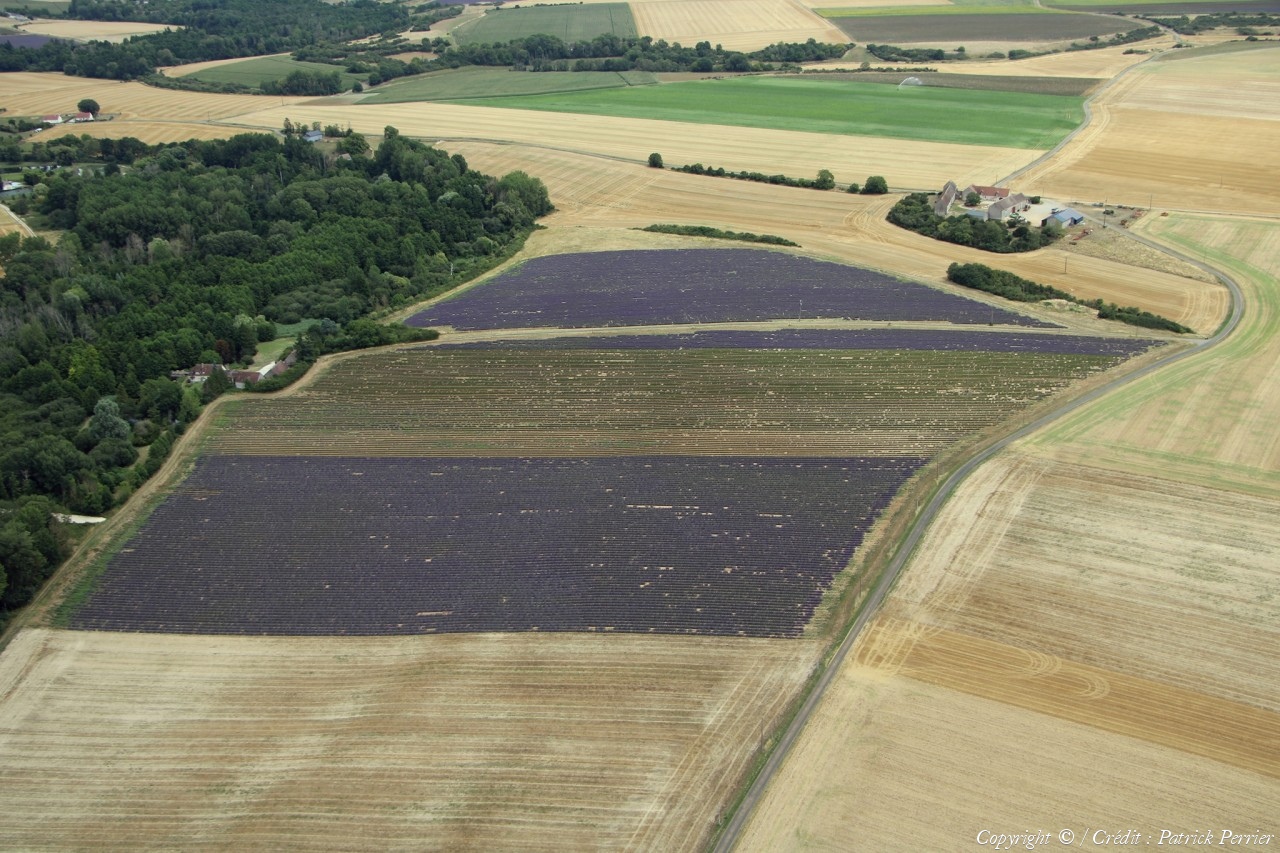
Département :
Loir-et-Cher (41)
Lieu :
Viévy-le-Rayé
Coord. GPS :
47 53 28 N 01 18 12 E
Photographe :
Patrick Perrier
Prise le :
20/07/2023
Vue 513 fois (
1.87 fois/jour
)
Affiner la recherche
-
Situer sur la carte
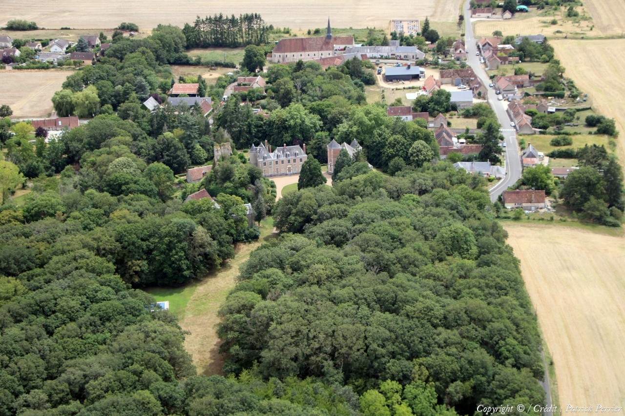
Pays :
France
Département :
Loir-et-Cher (41)
Lieu :
Viévy-le-Rayé
Coord. GPS :
47 53 28 N 01 18 12 E
Photographe :
Patrick Perrier
Prise le :
20/07/2023
Vue 512 fois (
1.86 fois/jour
)
Affiner la recherche
-
Situer sur la carte
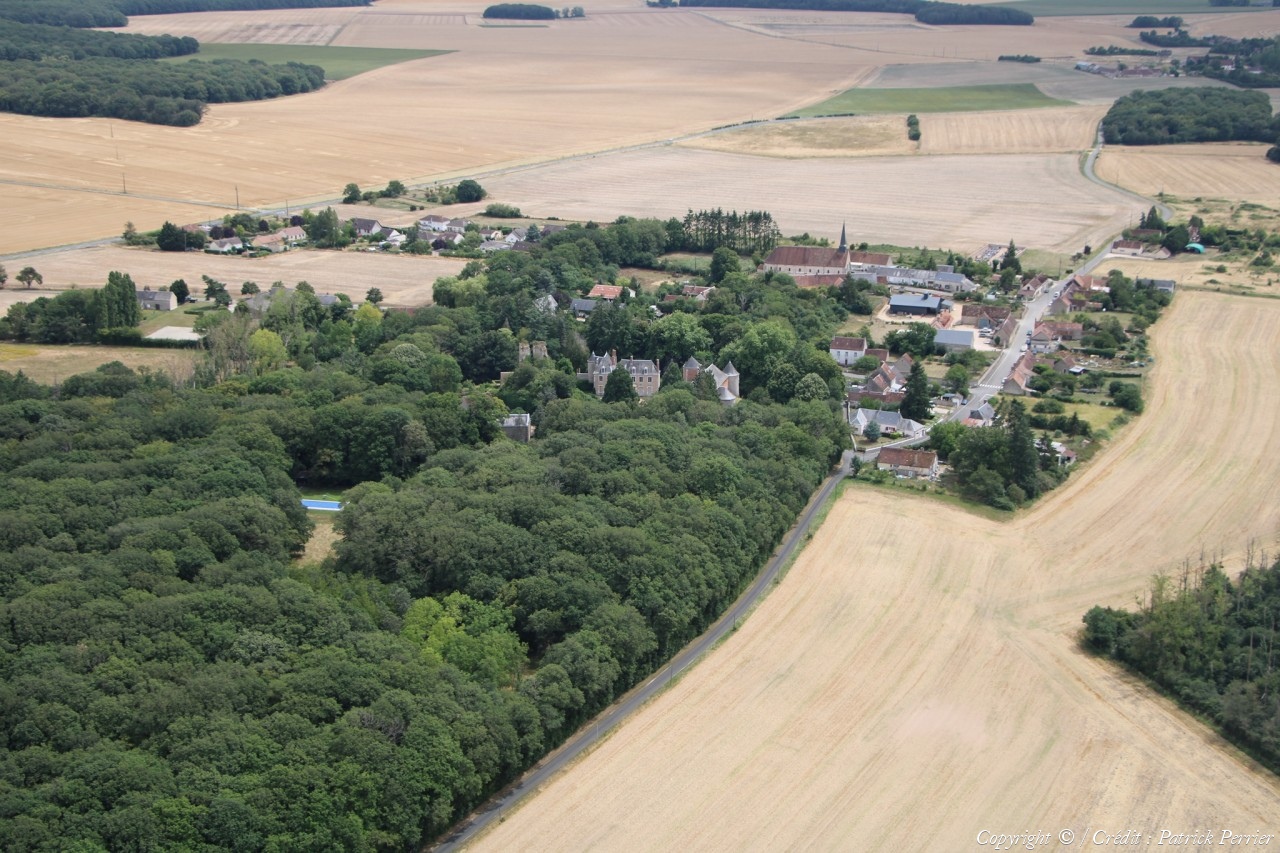
Pays :
France
Département :
Loir-et-Cher (41)
Lieu :
Viévy-le-Rayé
Coord. GPS :
47 51 57 N 01 18 50 E
Photographe :
Patrick Perrier
Prise le :
20/07/2023
Vue 517 fois (
1.88 fois/jour
)
Affiner la recherche
-
Situer sur la carte
Pays :
France
Département :
Loir-et-Cher (41)
Lieu :
Viévy-le-Rayé
Coord. GPS :
47 51 57 N 01 18 50 E
Photographe :
Patrick Perrier
Prise le :
20/07/2023
Vue 511 fois (
1.86 fois/jour
)
Affiner la recherche
-
Situer sur la carte
Pays :
France
Département :
Loir-et-Cher (41)
Lieu :
Viévy-le-Rayé
Coord. GPS :
47 51 57 N 01 18 50 E
Photographe :
Patrick Perrier
Prise le :
20/07/2023
Vue 491 fois (
1.79 fois/jour
)
Affiner la recherche
-
Situer sur la carte
Pays :
France
Département :
Loir-et-Cher (41)
Lieu :
Valencisse
Coord. GPS :
47 36 11 N 01 10 18 E
Photographe :
Patrick Perrier
Prise le :
20/07/2023
Vue 527 fois (
1.92 fois/jour
)
Affiner la recherche
-
Situer sur la carte
Pays :
France
Département :
Loir-et-Cher (41)
Lieu :
Selommes
Coord. GPS :
47 46 15 N 01 10 40 E
Photographe :
Patrick Perrier
Prise le :
20/07/2023
Vue 456 fois (
1.66 fois/jour
)
Affiner la recherche
-
Situer sur la carte
Pays :
France
Département :
Loir-et-Cher (41)
Lieu :
Selommes
Coord. GPS :
47 45 21 N 01 11 35 E
Photographe :
Patrick Perrier
Prise le :
20/07/2023
Vue 401 fois (
1.46 fois/jour
)
Affiner la recherche
-
Situer sur la carte
Pays :
France
Département :
Loir-et-Cher (41)
Lieu :
Selommes
Coord. GPS :
47 45 21 N 01 11 35 E
Photographe :
Patrick Perrier
Prise le :
20/07/2023
Vue 415 fois (
1.51 fois/jour
)
Affiner la recherche
-
Situer sur la carte
Pays :
France
Département :
Loir-et-Cher (41)
Lieu :
Selommes
Coord. GPS :
47 45 21 N 01 11 35 E
Photographe :
Patrick Perrier
Prise le :
20/07/2023
Vue 388 fois (
1.41 fois/jour
)
Affiner la recherche
-
Situer sur la carte
Pays :
France
Département :
Loir-et-Cher (41)
Lieu :
La Chapelle-Vendômoise
Coord. GPS :
47 40 25 N 01 13 51 E
Photographe :
Patrick Perrier
Prise le :
20/07/2023
Vue 387 fois (
1.41 fois/jour
)
Affiner la recherche
-
Situer sur la carte
Pays :
France
Département :
Loir-et-Cher (41)
Lieu :
Ouzouer-le-Doyen
Coord. GPS :
47 56 56 N 01 19 12 E
Photographe :
Patrick Perrier
Prise le :
20/07/2023
Vue 383 fois (
1.39 fois/jour
)
Affiner la recherche
-
Situer sur la carte
Pays :
France
Département :
Loir-et-Cher (41)
Lieu :
Ouzouer-le-Doyen
Coord. GPS :
47 56 56 N 01 19 12 E
Photographe :
Patrick Perrier
Prise le :
20/07/2023
Vue 387 fois (
1.41 fois/jour
)
Affiner la recherche
-
Situer sur la carte
Pays :
France
Département :
Loir-et-Cher (41)
Lieu :
Ouzouer-le-Doyen
Coord. GPS :
47 56 56 N 01 19 12 E
Photographe :
Patrick Perrier
Prise le :
20/07/2023
Vue 390 fois (
1.42 fois/jour
)
Affiner la recherche
-
Situer sur la carte
Pays :
France
Département :
Loir-et-Cher (41)
Lieu :
Ouzouer-le-Doyen
Coord. GPS :
47 56 29 N 01 20 29 E
Photographe :
Patrick Perrier
Prise le :
20/07/2023
Vue 401 fois (
1.46 fois/jour
)
Affiner la recherche
-
Situer sur la carte
Pays :
France
Département :
Loir-et-Cher (41)
Lieu :
Ouzouer-le-Doyen
Coord. GPS :
47 56 29 N 01 20 29 E
Photographe :
Patrick Perrier
Prise le :
20/07/2023
Vue 408 fois (
1.48 fois/jour
)
Affiner la recherche
-
Situer sur la carte
Pays :
France
Département :
Loir-et-Cher (41)
Lieu :
Oucques La Nouvelle
Coord. GPS :
47 50 19 N 01 18 11 E
Photographe :
Patrick Perrier
Prise le :
20/07/2023
Vue 441 fois (
1.60 fois/jour
)
Affiner la recherche
-
Situer sur la carte
1
2
Page suivante
Dernière page
Droits réservés - Copyright ©
Survol de France
Site en ligne depuis le 28 octobre 2004
613 visiteurs en ligne
-
1986 visiteurs aujourd'hui
Information sur la confidentialité
-
Mentions légales
Mesure d'audience ROI frequentation par


